Loading...
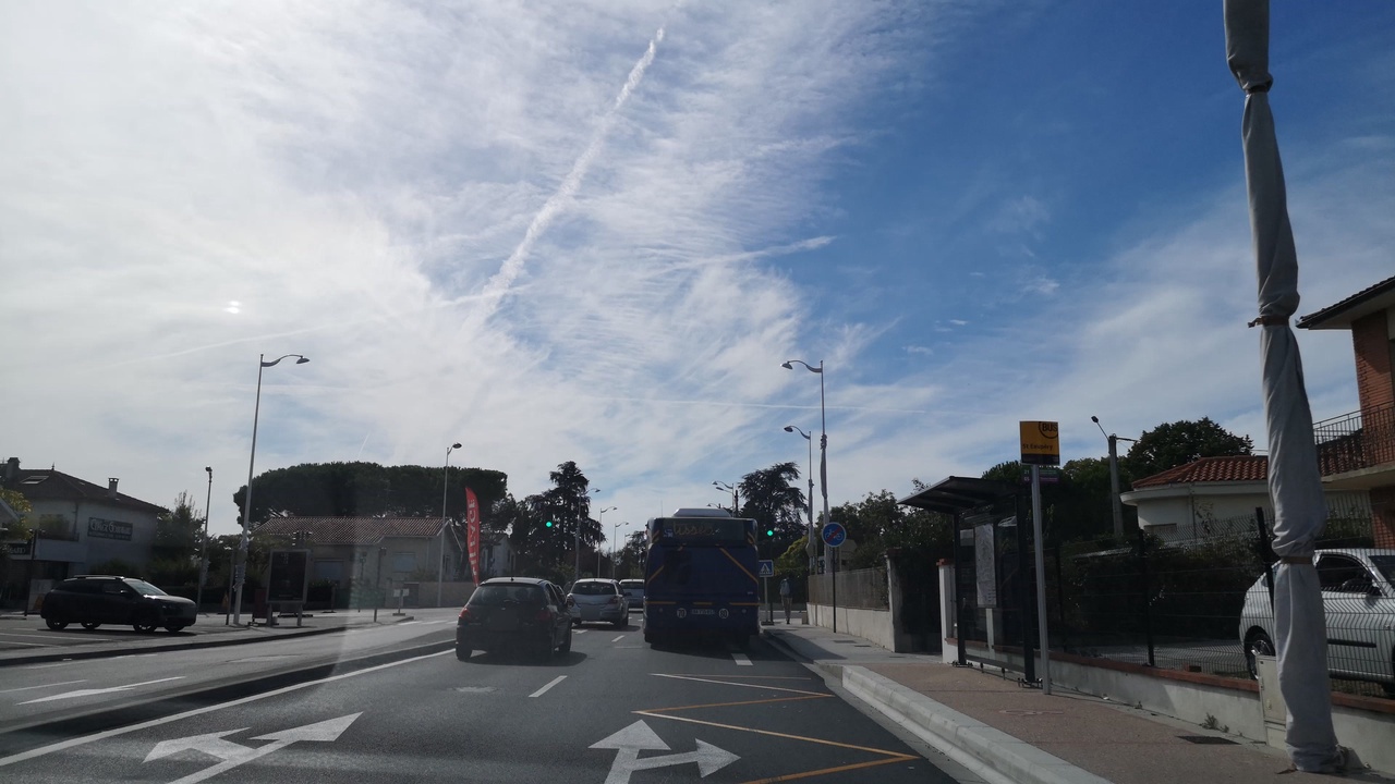
Node: Saint-Exupéry (1718444314)
Version #15
Add whether public transport stops are lit
- Edited by roptat
- Changeset #132453325
- Location: 43.5886053, 1.3592487
Tags
| bench | no |
|---|---|
| bin | yes |
| bus | yes |
| highway | bus_stop |
| image | http://storage9.openstreetcam.org/files/photo/2018/9/16/lth/1290309_5_61914_16.jpg |
| lit | yes |
| name | Saint-Exupéry |
| public_transport | platform |
| ref | 15330 |
| ref:FR:Tisseo | 15330 |
| shelter | yes |
| source | http://data.grandtoulouse.fr |
| source:date | 2012-04-04 |
| survey:date | 2018-09-16 |
| tactile_paving | yes |
| wheelchair | yes |
Part of
4 relations
- Relation Bus 21: Basso Cambo → Colomiers Airbus (1461376) (as platform)
- Relation Bus 21: Basso Cambo → Colomiers Gare SNCF (3907001) (as platform)
- Relation Bus 25: Oncopole Courrière → Colomiers Gare SNCF (13307578) (as platform)
- Relation Bus L3: Arènes → Plaisance Monestié (3290370) (as platform)
Welcome to OpenStreetMap!
OpenStreetMap is a map of the world, created by people like you and free to use under an open license.
Hosting is supported by Fastly, OSMF corporate members, and other partners.
| https://openstreetmap.org/copyright | https://openstreetmap.org |
| Copyright OpenStreetMap and contributors, under an open license | |