Loading...
Node: دير حنا (278474092)
Version #8
remove nonsense tag (accuracy=minutes)
- Edited by traveleditor
- Changeset #134664911
- Location: 32.8625037, 35.3666613
Tags
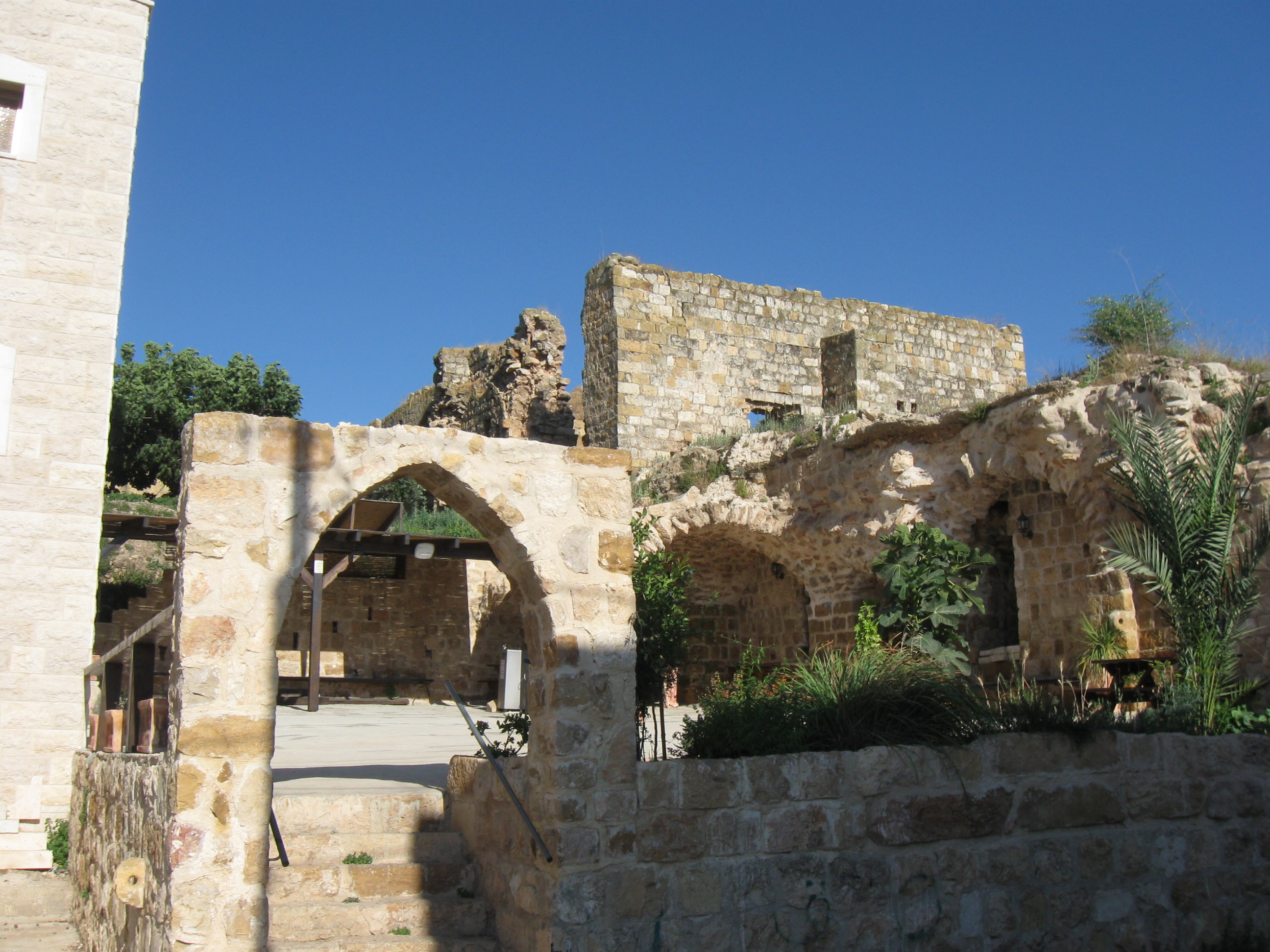
| description | דֵיר חַנָּא (בערבית: دير حنا) היא מועצה מקומית במחוז הצפון, בבקעת סכנין, בצפון הגליל התחתון המרכזי (לב הגליל), והיא הוכרזה כמועצה מקומית בשנת 1975. |
|---|---|
| description:he | דֵיר חַנָּא (בערבית: دير حنا) היא מועצה מקומית במחוז הצפון, בבקעת סכנין, בצפון הגליל התחתון המרכזי (לב הגליל), והיא הוכרזה כמועצה מקומית בשנת 1975. |
| gns_ref | -779562 |
| image | https://upload.wikimedia.org/wikipedia/commons/a/a0/DeirHanna076.jpg |
| image1 | https://upload.wikimedia.org/wikipedia/commons/2/2e/Deir_Hanna.jpg |
| name | دير حنا |
| name:ar | دير حنا |
| name:cs | Dejr Channa |
| name:en | Deir Hanna |
| name:en1 | Dayr Hannah |
| name:en2 | Kefar Yohanah |
| name:fi | Deir Hanna |
| name:fr | Deir Hanna |
| name:he | דיר חנא |
| name:nn | Deir Hanna |
| name:pl | Dejr Channa |
| name:ru | Дейр-Ханна |
| name:sv | Deir Ḥannā |
| place | village |
| source | GEOnet Names Server (gns) |
| wikidata | Q612483 |
| wikipedia | he:דיר חנא |
| wikipedia:en | Deir Hanna |
| wikipedia:he | דיר חנא |
Welcome to OpenStreetMap!
OpenStreetMap is a map of the world, created by people like you and free to use under an open license.
Hosting is supported by Fastly, OSMF corporate members, and other partners.
| https://openstreetmap.org/copyright | https://openstreetmap.org |
| Copyright OpenStreetMap and contributors, under an open license | |