Loading...
Node History: 10334 (4231982194)
Version #13
Added additional tags to bus stops.
- Edited by TheDutchMan13
- Changeset #147584438
- Location: 33.4511615, -112.0995980
Tags
| alt_name | West Van Buren Street and North 19th Avenue |
|---|---|
| bench | yes |
| bin | yes |
| bus | yes |
| departures_board | no |
| highway | bus_stop |
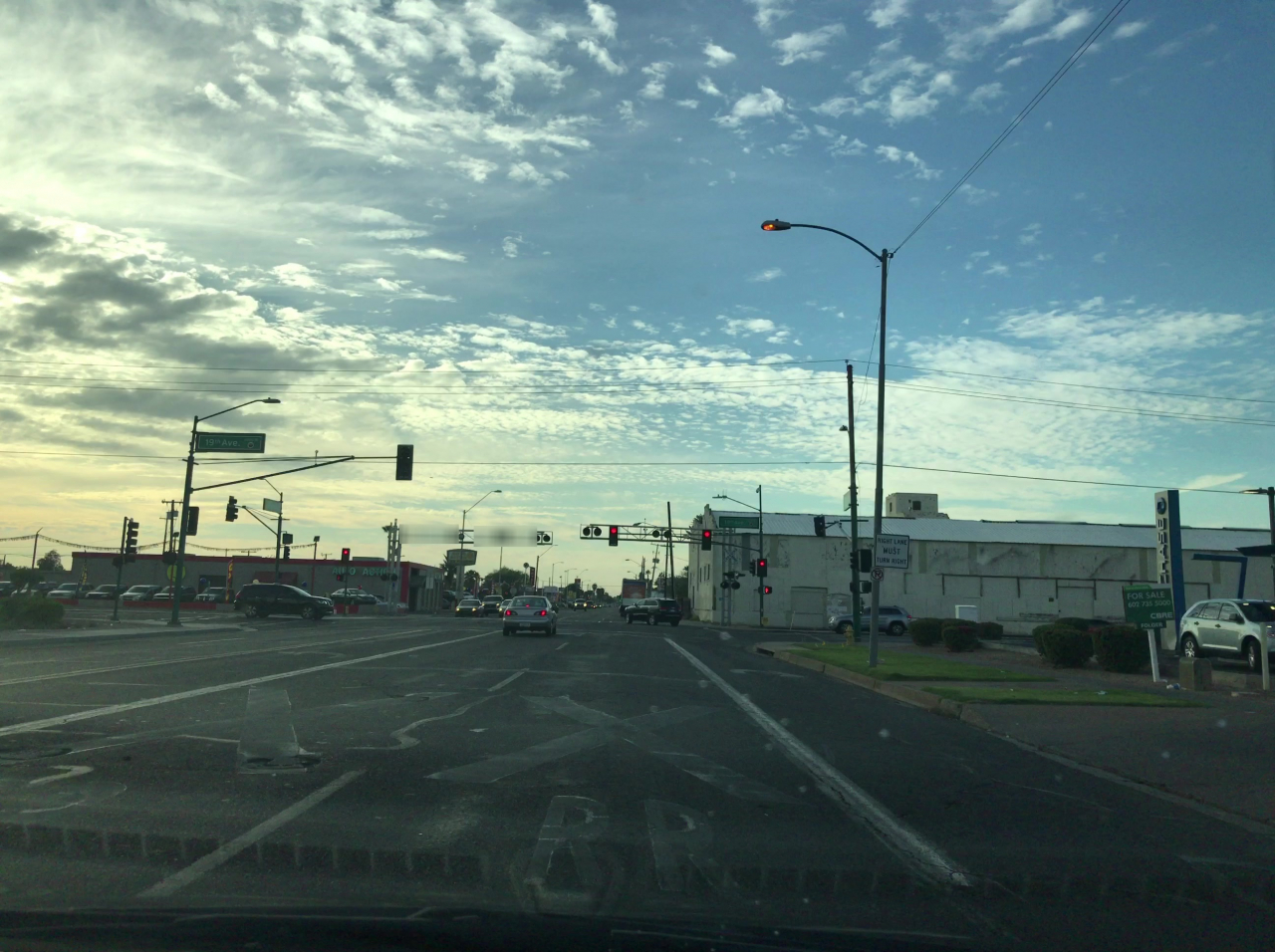
| image | https://storage3.openstreetcam.org/files/photo/2017/12/17/lth/986785_c2c99_18.jpg |
| lit | yes |
| network | Valley Metro |
| network:wikidata | Q3553869 |
| network:wikipedia | en:Valley Metro |
| operator | Valley Metro |
| operator:en | Valley Metro Org |
| operator:wikidata | Q3553869 |
| public_transport | platform |
| public_transport:version | 2 |
| ref | 10334 |
| shelter | yes |
| survey:date | 2017-12-17 |
| tactile_paving | no |
| website | https://www.valleymetro.org/ |
Version #12
Added bus stop tags, crossings & landuse.
- Edited by TheDutchMan13
- Changeset #128758661
- Location: 33.4511615, -112.0995980
Tags
| alt_name | West Van Buren Street and North 19th Avenue |
|---|---|
| bench | yes |
| bin | yes |
| bus | yes |
| departures_board | no |
| highway | bus_stop |
| image | https://storage3.openstreetcam.org/files/photo/2017/12/17/lth/986785_c2c99_18.jpg |
| lit | yes |
| network | Valley Metro |
| network:wikidata | Q3553869 |
| network:wikipedia | en:Valley Metro |
| operator | Valley Metro |
| public_transport | platform |
| public_transport:version | 2 |
| ref | 10334 |
| shelter | yes |
| survey:date | 2017-12-17 |
| tactile_paving | no |
Version #11
Added transit shelters, carports, adjusted building & landuse.
- Edited by TheDutchMan13
- Changeset #119768456
- Location: 33.4511615, -112.0995989
Tags
| alt_name | West Van Buren Street and North 19th Avenue |
|---|---|
| bus | yes |
| departures_board | no |
| highway | bus_stop |
| image | https://storage3.openstreetcam.org/files/photo/2017/12/17/lth/986785_c2c99_18.jpg |
| name | 10334 |
| network | Valley Metro |
| network:wikidata | Q3553869 |
| network:wikipedia | en:Valley Metro |
| operator | Valley Metro Org |
| public_transport | platform |
| public_transport:version | 2 |
| ref | 10334 |
| shelter | yes |
| survey:date | 2017-12-17 |
Version #10
Aligned roads to imagery. Added stop signs & updated tags.
- Edited by TheDutchMan13
- Changeset #110544698
- Location: 33.4511643, -112.0995950
Tags
| alt_name | West Van Buren Street and North 19th Avenue |
|---|---|
| bus | yes |
| highway | bus_stop |
| image | https://storage3.openstreetcam.org/files/photo/2017/12/17/lth/986785_c2c99_18.jpg |
| name | 10334 |
| network | Valley Metro |
| network:wikidata | Q3553869 |
| network:wikipedia | en:Valley Metro |
| operator | Valley Metro Org |
| public_transport | platform |
| public_transport:version | 2 |
| ref | 10334 |
| shelter | yes |
| survey:date | 2017-12-17 |
Version #9
Set shelter property for bus stop (Phoenix, Arizona, United States of America)
- Edited by AlexeyTyur
- Changeset #95955249
- Location: 33.4511643, -112.0995954
Tags
| alt_name | West Van Buren Street and North 19th Avenue |
|---|---|
| bus | yes |
| highway | bus_stop |
| image | https://storage3.openstreetcam.org/files/photo/2017/12/17/lth/986785_c2c99_18.jpg |
| name | 10334 |
| network | US National Transit Database id is 90032 |
| operator | Valley Metro Org |
| public_transport | platform |
| public_transport:version | 2 |
| ref | 10334 |
| shelter | yes |
| survey:date | 2017-12-17 |
Version #8
Updated tags
- Edited by TheDutchMan13
- Changeset #72886001
- Location: 33.4511643, -112.0995954
Tags
Version #7
Bus stops were added.
- Edited by Dr Kludge
- Changeset #59173777
- Location: 33.4511643, -112.0995954
Tags
| alt_name | West Van Buren Street and North 19th Avenue |
|---|---|
| highway | bus_stop |
| name | 10334 |
| network | US National Transit Database id is 90032 |
| operator | Valley Metro Org |
| public_transport | platform |
| public_transport:version | 2 |
| ref | 10334 |
Version #6
Bus stops were added.
- Edited by Dr Kludge
- Changeset #58227337
- Location: 33.4511643, -112.0995954
Tags
| alt_name | West Van Buren Street and North 19th Avenue |
|---|---|
| highway | bus_stop |
| name | 10334 |
| network | US National Transit Database id is 90032 |
| operator | Valley Metro Org |
| public_transport | platform |
| public_transport:version | 2 |
Version #5
Updated a bus_stop
- Edited by Dr Kludge
- Changeset #58208736
- Location: 33.4511643, -112.0995954
Tags
| highway | bus_stop |
|---|---|
| name | 10334 |
| network | US National Transit Database id is 90032 |
| operator | Valley Metro Org |
| public_transport | platform |
| public_transport:version | 2 |
Version #4
Bus stops were added. Network name adjusted.
- Edited by Dr Kludge
- Changeset #58066600
- Location: 33.4511643, -112.0995954
Tags
| highway | bus_stop |
|---|---|
| network | US National Transit Database id is 90032 |
| operator | Valley Metro Org |
| public_transport | platform |
| public_transport:version | 2 |
Version #3
Set operator on stop_positions.
- Edited by Dr Kludge
- Changeset #54353429
- Location: 33.4511643, -112.0995954
Tags
| highway | bus_stop |
|---|---|
| network | US National Transit Database id=90032 |
| operator | Valley Metro Org |
| public_transport | platform |
| public_transport:version | 2 |
Version #2
Set operator on bus stops.
- Edited by Dr Kludge
- Changeset #54353251
- Location: 33.4511643, -112.0995954
Tags
Version #1
Addresses and bus stops were added.
- Edited by Dr Kludge
- Changeset #39885306
- Location: 33.4511643, -112.0995954
Tags
Welcome to OpenStreetMap!
OpenStreetMap is a map of the world, created by people like you and free to use under an open license.
Hosting is supported by Fastly, OSMF corporate members, and other partners.
| https://openstreetmap.org/copyright | https://openstreetmap.org |
| Copyright OpenStreetMap and contributors, under an open license | |