Loading...
Node History: Ledi (7943483960)
Version #3
Update mapillary value from API v3 to v4 ID (Vx2Gcsc9sZUDRxGXuV6jsP => 333637514767413)
- Edited by kmpoppe (@ Mapillary Update)
- Changeset #127552822
- Location: 46.7824838, 8.6770575
Tags
Version #2
Wanderwegweiser image auf Bilddirektlinks/Wikimedia Commons Seite
- Edited by Pudu
- Changeset #92601335
- Location: 46.7824838, 8.6770575
Tags
Version #1
Corretto il tracciato delle relazioni E1, 2, 7, Gotthardbahn tra Erstfeld e Amsteg
- Edited by kaitu
- Changeset #91533532
- Location: 46.7824838, 8.6770575
Tags
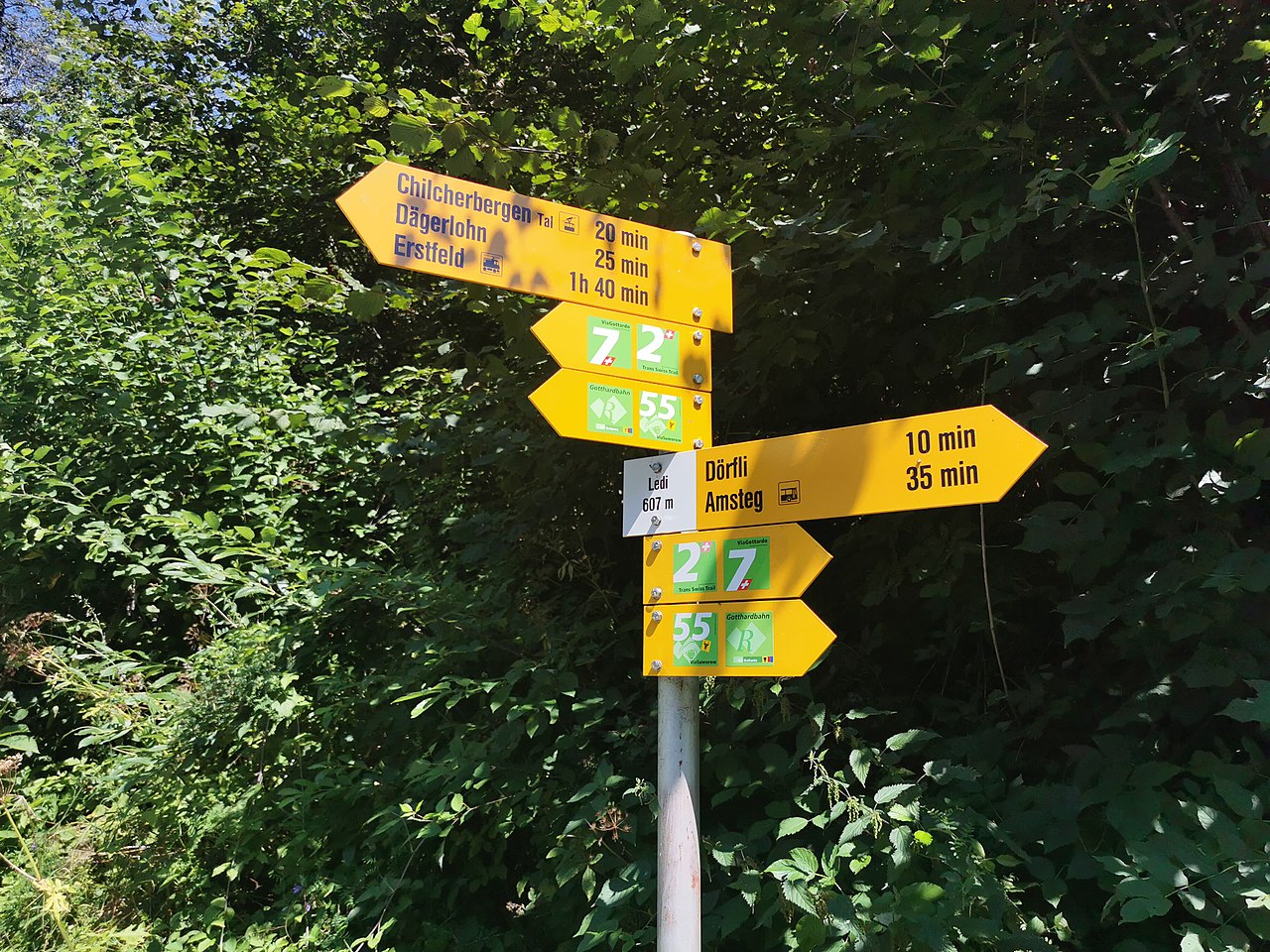
| ele | 607 |
|---|---|
| hiking | yes |
| image | https://commons.wikimedia.org/wiki/File:Wanderwegweiser_Ledi_607.jpg |
| information | guidepost |
| mapillary | Vx2Gcsc9sZUDRxGXuV6jsP |
| name | Ledi |
| support | pole |
| tourism | information |
| wikimedia_commons | File:Wanderwegweiser Ledi 607.jpg |
Welcome to OpenStreetMap!
OpenStreetMap is a map of the world, created by people like you and free to use under an open license.
Hosting is supported by Fastly, OSMF corporate members, and other partners.
| https://openstreetmap.org/copyright | https://openstreetmap.org |
| Copyright OpenStreetMap and contributors, under an open license | |