Hurricane Maria, Puerto Rico- Mapathon at Massachusetts Institute of Technology
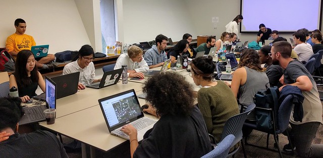
Posted by Alan Bragg on 8 October 2017 in English.Approximately 50 MIT students and OSM’ers from the Boston area participated in a 4 hour Mapathon on Sunday afternoon 10/8/2017.
The task was to map buildings from satellite photos taken before Hurricane Maria
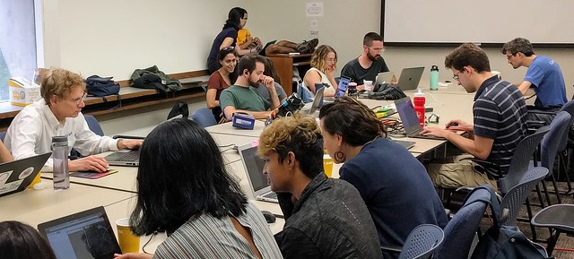
The event went off without a hitch. The facilities at the Dewey Library were fantastic. I was surprised that this event, organized just a couple of days ago was so well attended. The student organizers spread the word and the community responded.

The organizers were pleased at the turnout and hope to hold more mapathons in the future.
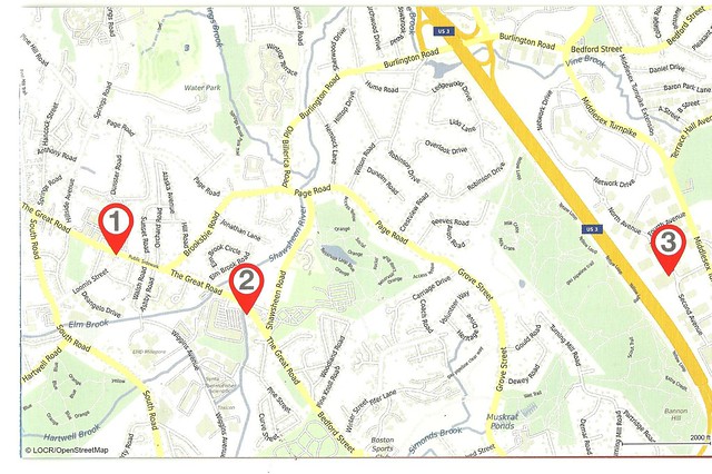 The attribution in the bottom left corner reads “LOCR/OpenStreetMap”