One of the prime applications of maps is navigation. In order to make OpenStreetMap more reliable for navigation, the team Mapbox has been improving the data in the map by adding missing turn restrictions, exits and destinations across the world. Recently, we mapped most of the gaps in the data across US cities as well as 5 cities each in Canada and Germany. In the entire process, we worked closely with the local community by taking inputs in the form of suggestions and guidance on improving our workflow and resources.
Continuing from our previous work in Europe, we did an initial research on France to get estimate of existing navigation data. These are the 5 cities we want to start with,

Our initial assessment shows that there are very few turn-restrictions mapped overall, and a majority of what is present is “only-straight” or “only-right” rather than the common “no-right-turn” or “no-left-turn”.
Data Sources for Mapping
Mapillary Imagery
We use Mapillary as the primary source for adding turn restrictions. Overall, Paris has the best Mapillary coverage which would allow for bridging any gaps in data. This is followed by Lyon, where coverage is less dense, but could still be used to cover some gaps, if any.

We came across these situations while reviewing the data using Mapillary images, where we were unable to perceive these signage representations.
[1] Mapping conditional turn restrictions
There is a no left turn but with a condition for except service vehicles. But it is only mapped as no-left-turn. How should we be mapping this?

[2] Similar to the above case, is this sign a combination of all the three or are they individual signs? How do we interpret sign like these in general?

[3] Exit numbers
There seems to be signs with only_arrows along with an E below it. They are mostly located on higher classification of roads. What do these signs signify?

http://mapbox.github.io/osm-navigation-map/#19.11/48.90057/2.35856
[4] We encountered multiple restriction signs, What is the background behind these signs and what is the ideal way to handle these?

Although most of these turn restrictions are mapped, there are still many conditional turn restrictions that could be added and a few existing turn restrictions that could be validated for improving data quality on OpenStreetMap. It would be great if community can answer our questions and help us understand the above scenarios better. Looking forward to hear your suggestions and comments on this.
We’re going to be at SOTM in Brussels next week. Catch up with @jinalfoflia @ramyaragupathy @pratikyadav @geohacker and @planemad on the latest data team projects at Mapbox!
Thank you.
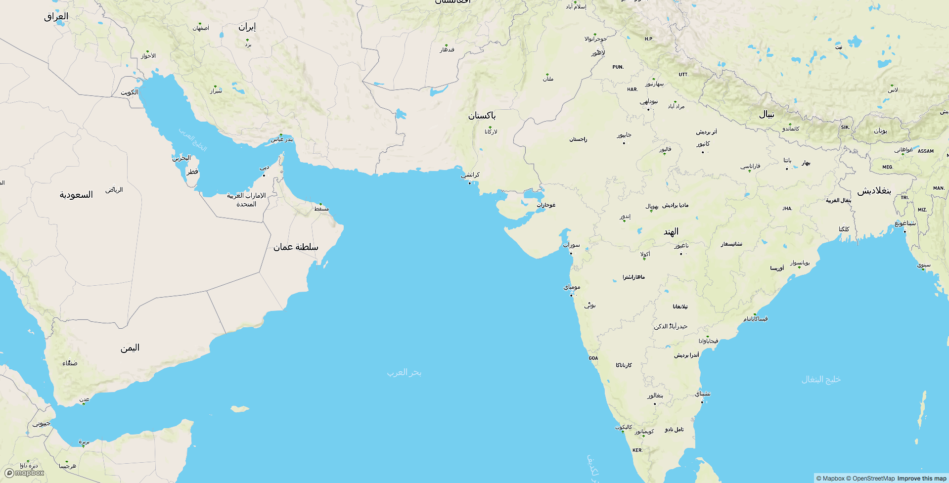 Arabic map of the world. (View full screen map)
 An interactive map built to live query the translations in Wikidata and to compare the similar sounding translations from various languages


 Elements in OSM Inpector tool page
 Adding OSM Inspector layer to JOSM

 Detected signage of
  Detected signage of
  Verifying turn restriction with images from Mapillary in OSM Navigation Map
 Reviewing turn restriction in OSM Navigation Map
 Street view images from Mapillary
 Collective edits extracted from
  View of 12th Main on OSM after field mapping


