Traverse Uganda
 Baker’s Fort Patiko- Gulu District,Uganda
Brief
Ministry of Tourism Wildlife and Antiquities, in-charge of Uganda’s tourism sector is using OpenStreetMap to promote tourism in Uganda. 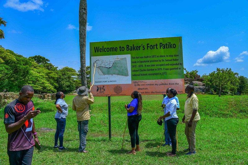 The ministry’s mission is “To develop and promote the tourism, wildlife and heritage resources for enhancement of Uganda as a competitive and preferred tourist destination, with accelerated sector contribution to the national economy.”
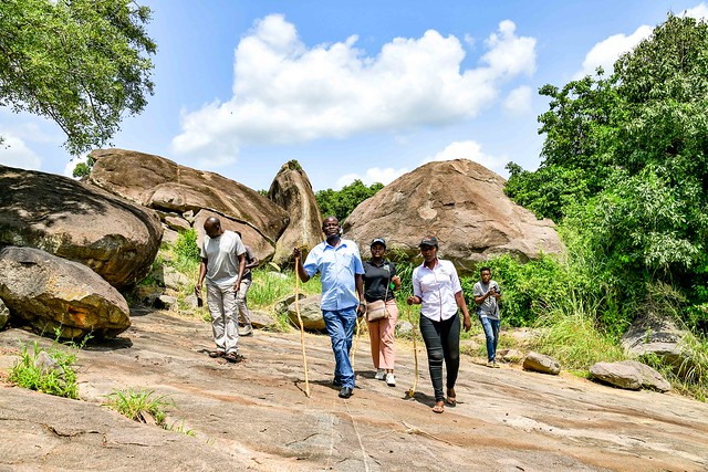
 Aruu Falls - Pader District,Uganda
The Ministry and OpenStreetMap Uganda a local NGO that leads a community of mappers in Uganda, worked together on the geospatial data enumeration and digitization of selected tourism sites in Northern Uganda.
Implementation Methods
The objective of the program is achieved using open source tools which is sustainable and allows replication in other areas of the country. The tools deployed included:-
-
Open Data Kit The application supports digital mobile data collection in areas with no internet reception. The team utilized this application to support data collection during field work.
-
Kobotoolbox This is a comprehensive platform for humanitarian data collection that designed to support humanitarian and researcher’s work. It provides server space to store the data collected and accessed in close to real-time. The team utilized kobotoolbox to support field data storage and access between the field data collection team and the data analysis team in Kampala.
-
QGIS QGIS is an open source GIS software that supports data analysis and visualization (map production). The team utilized this software to prepare datasets for web map visualization and upload to OpenStreetMap platform.
-
JOSM Editor It’s a desktop editor that supports offline OpenStreetMap data editing to save bandwidth and internet bundles especially for areas with expensive internet service. We utilized this software on the program to update OpenStreetMap data with major Tourist sites, Hotels, Hangout places, Shopping centers, and Banks.
-
Umap Umap supports data visualization on the web. It was deployed on the program because it best represents the datasets for the program and uses OpenStreetMap as base layer.
Product
The web interactive map together with a PDF print out map were produced and loaded here awaiting final commissioning on the ministry website.
