versão em português
In these last 2 years as a full time volunteer, I have developed several mapping projects around Brazil, because I believe it is my duty to contribute because of the deficit the map had in my region. My goal as a mapper is to try to decrease the blank spaces in OpenStreetMap so that more people can use them and thus more mappers emerge.
I understand that not everyone has time or interest in mapping, the most they can do is the basics, and many times they forget about OSM because they can’t use it on a daily basis, even more in a country like Brazil where hardly a worker would have time to be updating maps.
I have dedicated myself daily to OSM, but unfortunately this has a cost and since I am no heir, it has been very difficult to reconcile my volunteer work and my personal life, I have gone through some very complicated phases since I decided to dedicate myself full time, but I also had a lot of help.
Working at OSM is not an easy task, because your work is never finished, there are always new changes that need to be mapped, mistakes to be corrected, it’s a continuous job that requires a certain level of knowledge and experience acquired over time.
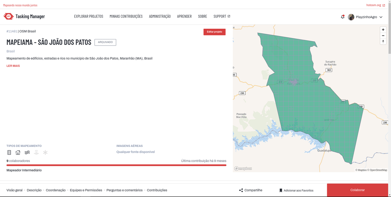
One of the first projects I did was using DAMN and then Taskmanger to be able to manage and map entire cities, with this project almost 20 cities were fully mapped from roads to buildings.
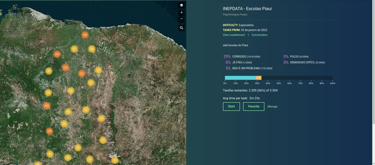
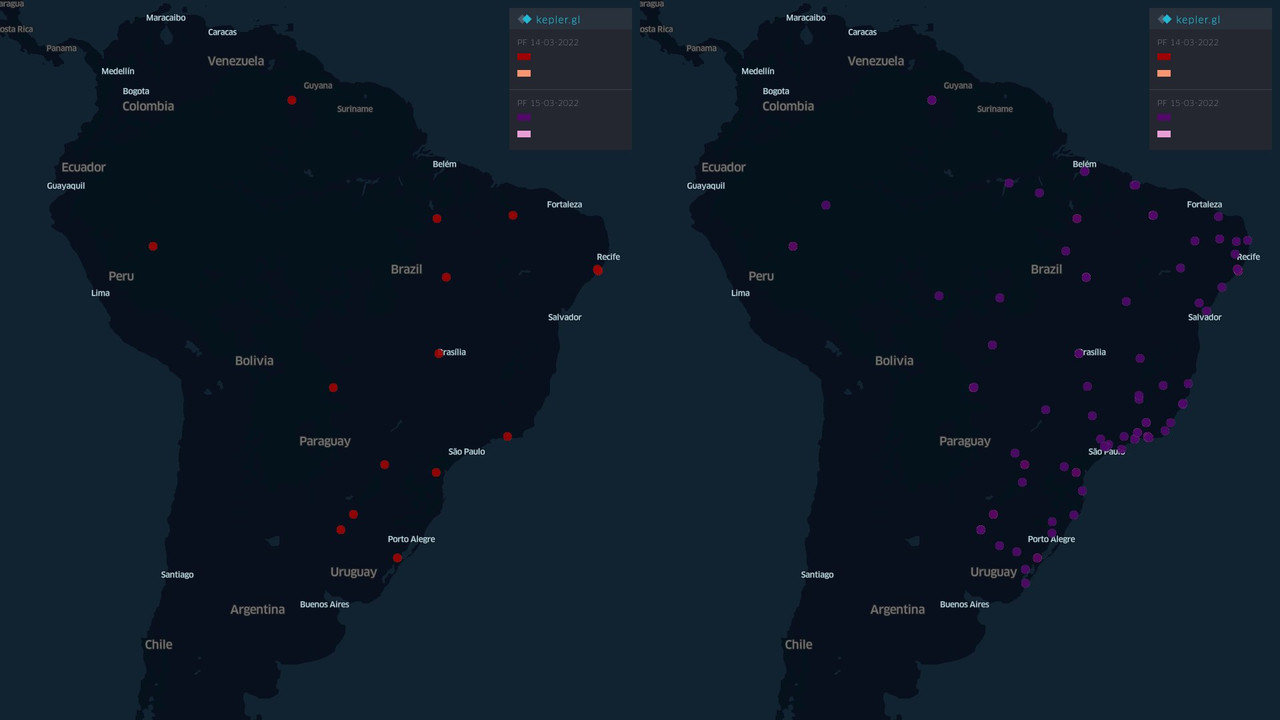
Another project that I dedicated my time to was adding the schools in the states of Maranhão, Piauí and Tocantis to the map, there were more than 10 thousand schools mapped in the 3 states, besides helping to measure the access to education the schools also have an important role for this election year, because they are used as voting locations and the OSM is the map used in the e-Título app and other apps developed by the government.
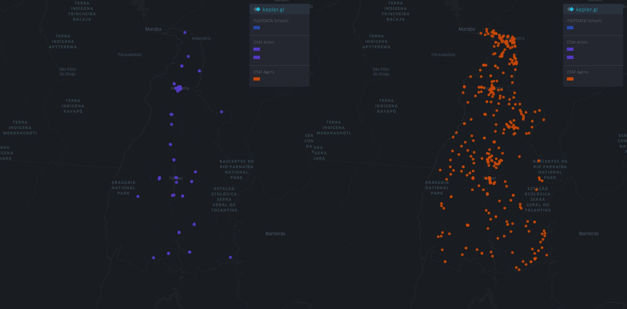 Before and after the importation of schools in Tocantins
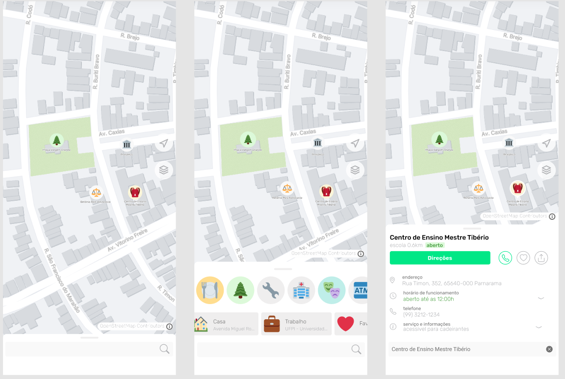
Both for importing the schools and the PRF and PF service stations and other data I prefer to use the MapRoullete tool because I have more control over the quality of the data and can check each piece of information I was adding. Importation should never be 100% automatic because it generates many conflicts with the existing data generating more work, so the importance of having people working integrally to be able to integrate the data.
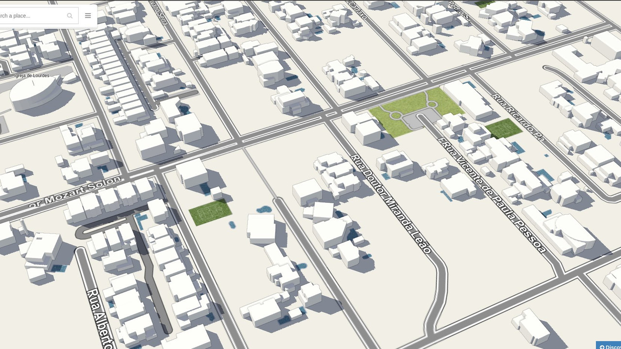
Currently I’ve been working on the importation of the buildings of the City of Fortaleza, which has taken a lot of my time because I have to review the data and also because the buildings were divided into parts, so I have to consider this when mapping, but the result is beautiful!
All this work requires dedication and time, OpenStreetMap is like a work of art that will never end, now I need your help to continue my work, your support is extremely important so I can continue mapping. Please consider making a donation ;)
https://opencollective.com/playzinhoagro
With your support I intend to
- Continue importing buildings in Fortaleza
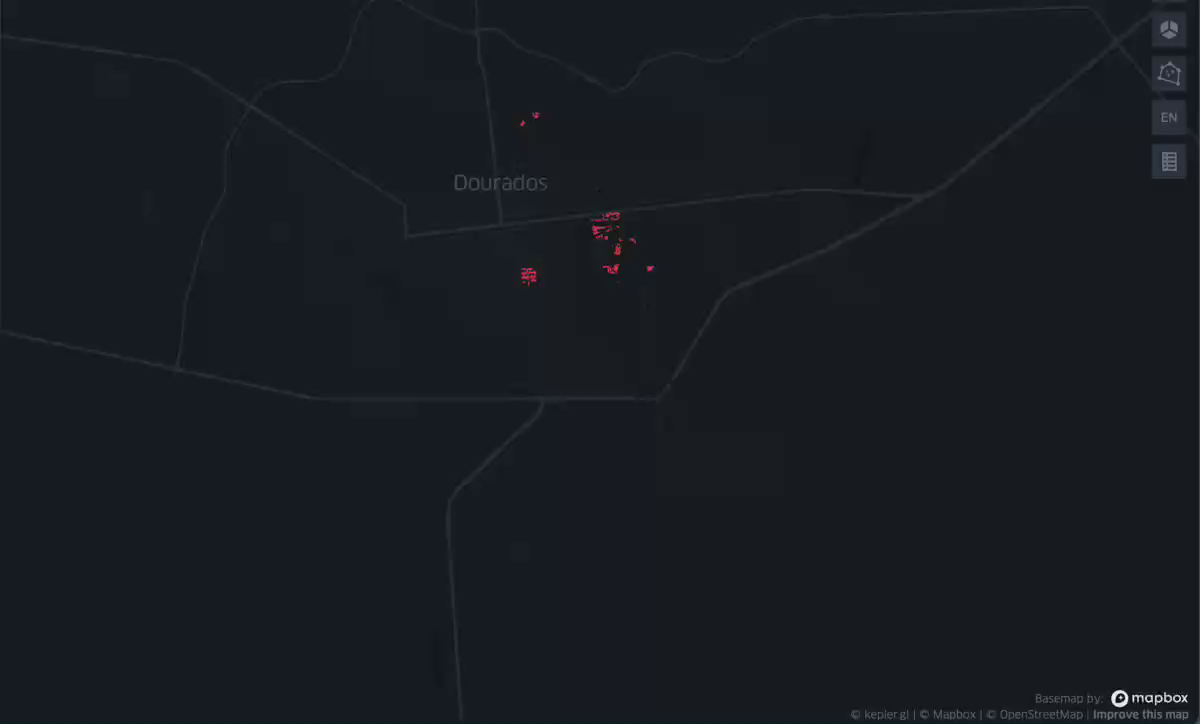
- Import the buildings and addresses from Dourados
- Create projects to check the use of wikidatas
- Continue mapping cities in Northeast Brazil
- etc…
Remember that by supporting me you will be supporting someone from the local community!
Location:

 Conhecendo outros Brasileiros
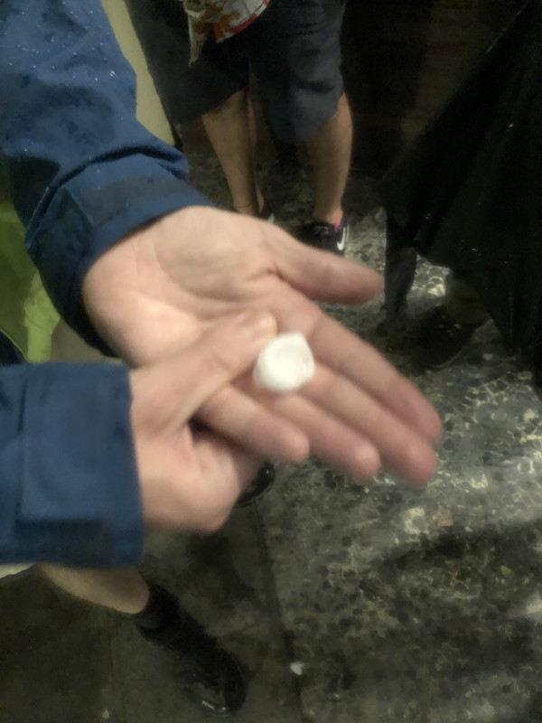 Primeira chuva de granizio da minha vida aconteceu em Florença
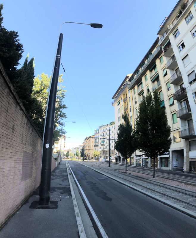 Caminho até a local do SoTM.
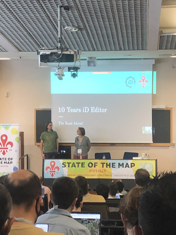 Apresentação de 10 anos do editor ID
 a do Brasil é melhor
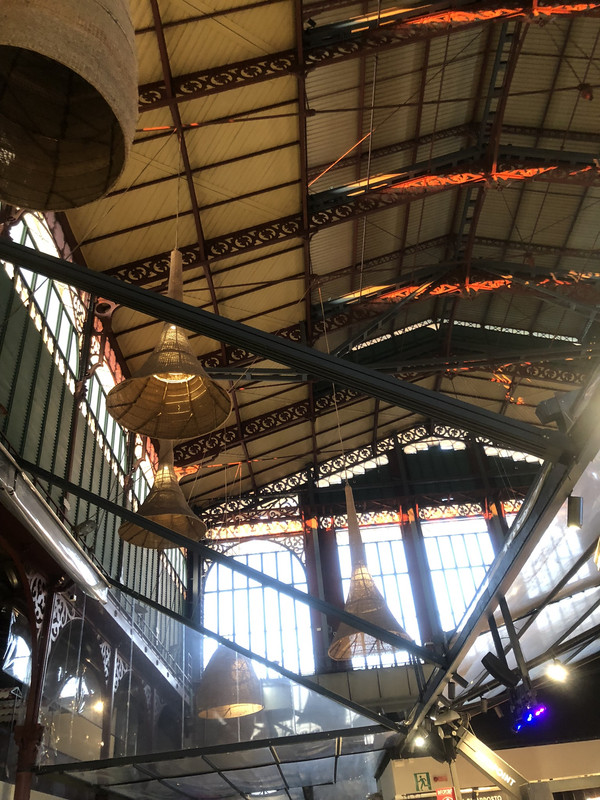 Mercado central de Florença
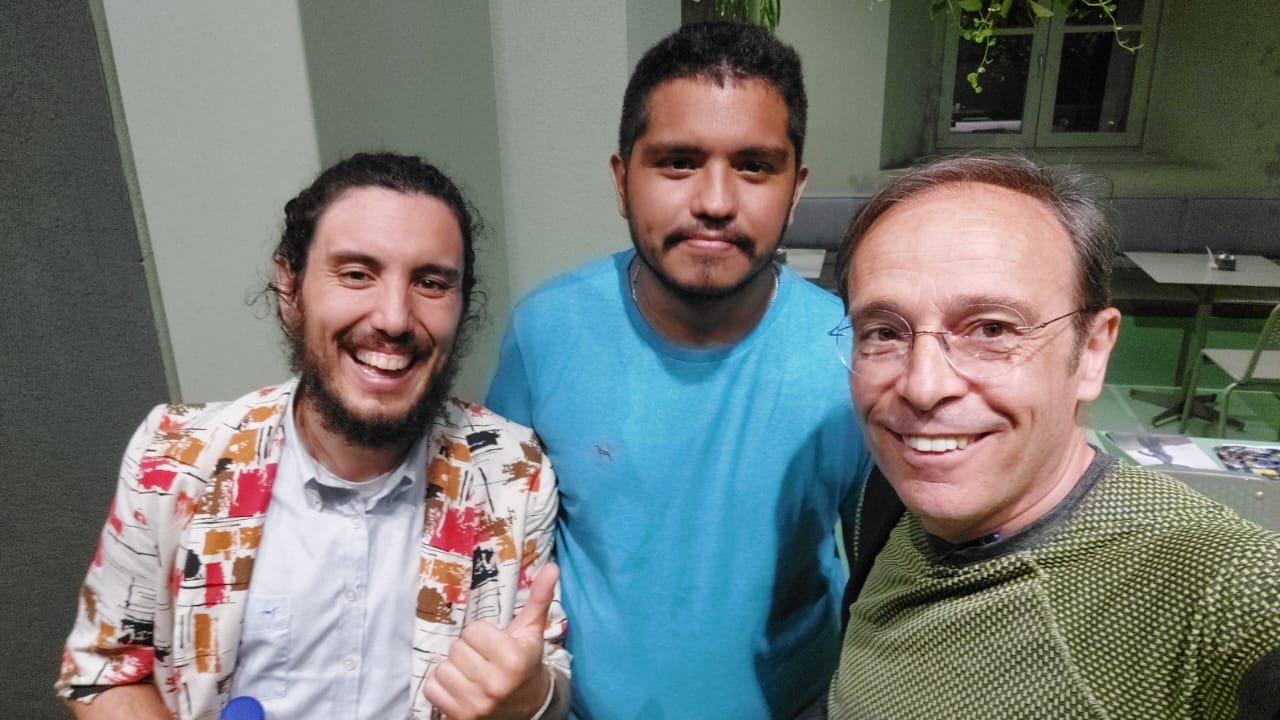
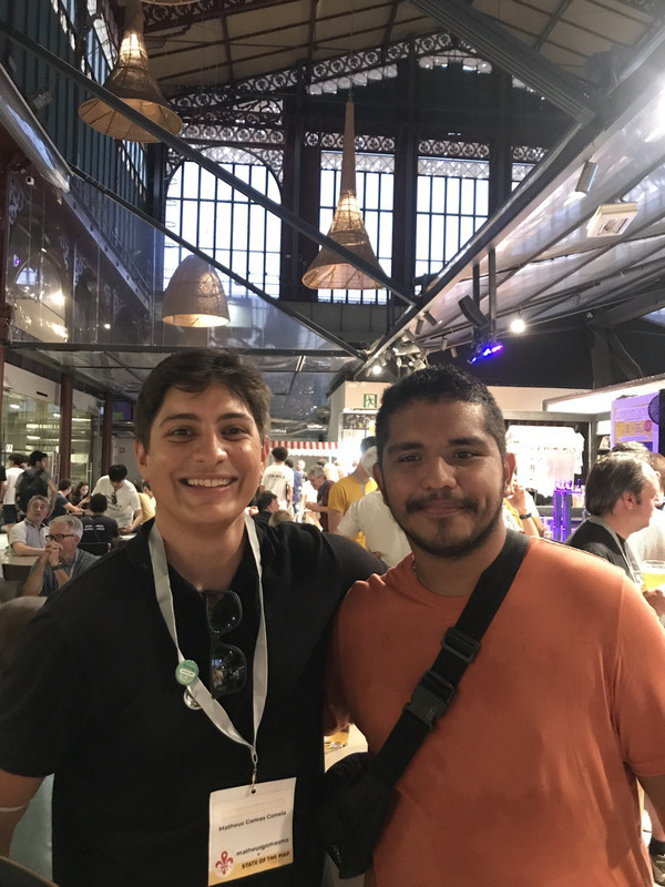 Foto com Matheus Gomes
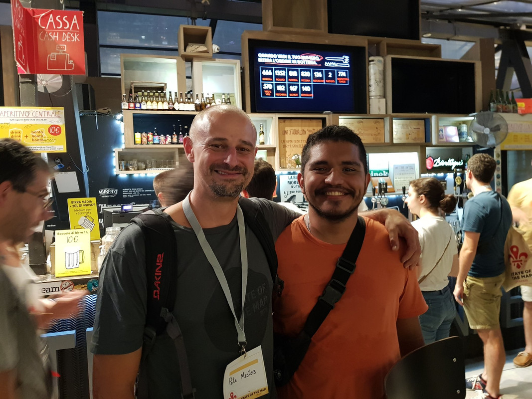 Foto com Pete Masters
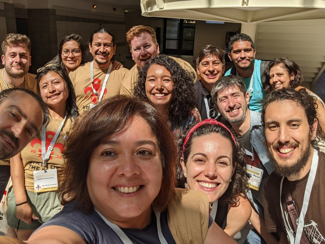 LATAM presente no SoTM22
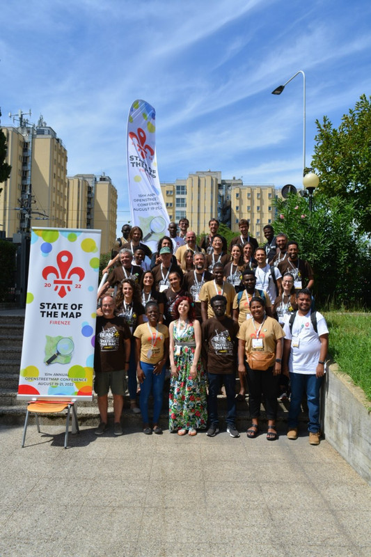 Voluntarios do SoTM11
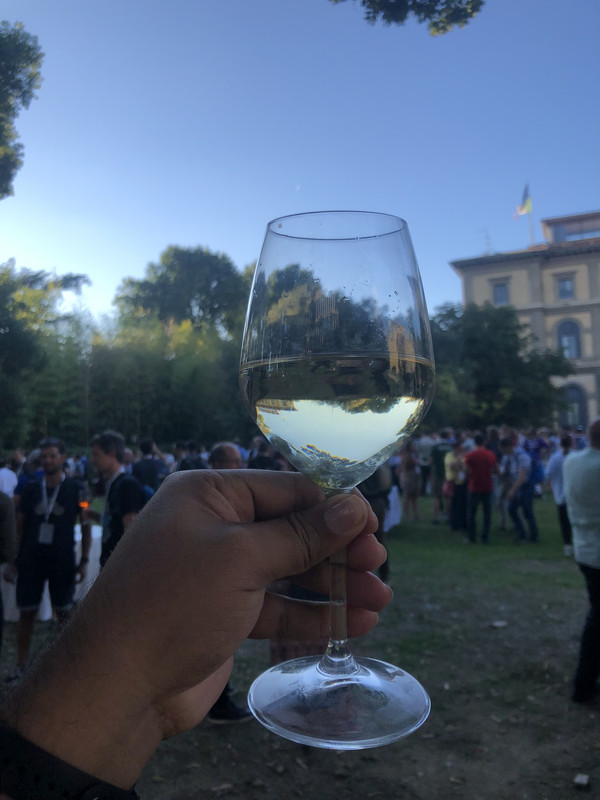 Uma taça de vinho durante o icebreak do FOSS4G
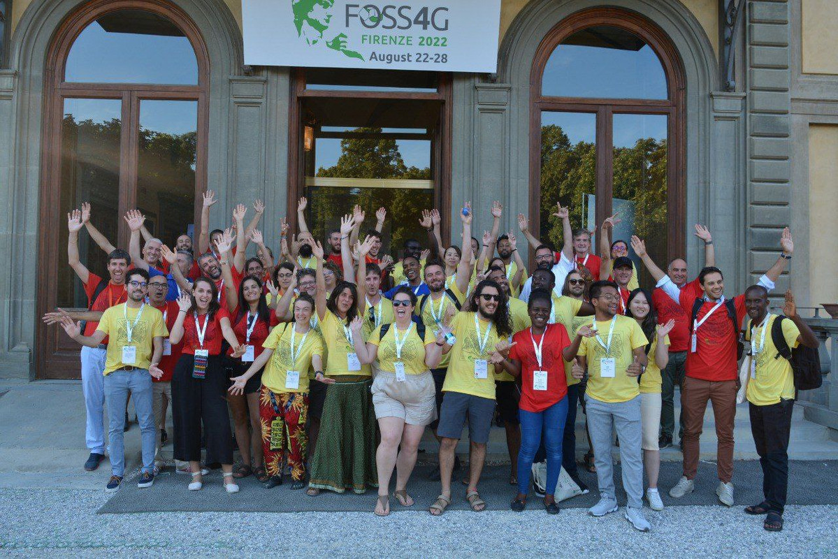 Voluntários do FOSS4G
 The Last Guys
 Em destaque árvores que já haviam sido mapeadas antes na cidade de Dourados.
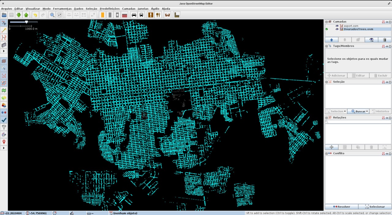 Após remover as árvores (do arquivo original) que poderiam dar conflitos com as já existentes no OSM.