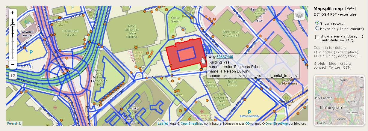
Experimental Overpass attic support in Achavi (augmented change viewer)
Posted by ikonor on 17 July 2014 in English.
As you might know, Overpass API has a new “attic data” feature (see Overpass API v0.7.50 almost done and SotM EU workshop). It allows to query for augmented changes by date range and bounding box. I’m very excited about this, because it now really makes sense for visualizing updates in an area, while iterating over minutely augmented diffs was a bit of an overkill. So I couldn’t resist and made a hack to utilize this in Achavi:
http://nrenner.github.io/achavi/
Zoom in to your area of interest and press load to see changes within the last 24 hours. For continuous monitoring bookmark the Permalink and simply press load each time, the last load date will be preset as start date.
The old version will probably be replaced once the attic database is rebuilt. Code is in the attic branch (only for the brave).
Many thanks to Roland for implementing the attic feature!
Changeset
There also is an experimental feature for visualizing changesets:
- drag & drop a changeset link onto the map
(e.g. URL from changeset page or changeset link from WhoDidIt feed) - or use “changeset” URL parameter (optional “&relations=true”),
e.g. …/achavi/?changeset=24168261
Load URL or file
Augmented diff files - i.e. the result of a custom attic adiff query - can also be loaded:
- drag & drop local file onto the map
- or pass the URL to a file as “url” parameter,
e.g. /achavi/?url=http://…/charging_stations.xml
This example is an uploaded result of the following query selecting updated charging stations for the recent Wochenaufgabe (en: Project of the week):http://overpass-api.de/api/interpreter?data=[adiff:"2014-07-01T00:00:00Z","2014-07-14T24:00:00Z"];((area["name:de"="Deutschland"];area["name:de"="Schweiz"];area["name:de"="Österreich"];);node["amenity"="charging_station"](area);>;);out meta geom;
Note that the url feature is somewhat limited due to cross-origin security constraints.
Limitations
- attic data goes back until September 2012 (license change)
- inconsistencies in old attic data (before June), there will be a database rebuild to fix
- smaller bounding boxes (>= z15) take a couple of seconds, while larger can take one or two minutes or may time out, esp. with relations
- only basic support for Relations in Achavi, thus disabled by default, check ‘relations’ to include
- Achavi as a whole is still alpha
- live update feature is removed for now, probably makes sense to separate. Has anybody been using this?
- …
Future
Unsure. Right now, there is other stuff I want to get on with. And before adding any more new features, some major refactoring should be done and probably switching to Leaflet.
Of course there is a lot to improve and there are many ideas, e.g.
- having the textual list of changes of Roland’s demo combined with the drill-down summary of Frederik’s “Cool Name Goes Here” (WIP), both interacting with map visualization.
- another idea was to somehow integrate the change visualization into Overpass Turbo to filter changes with your own attic queries, perhaps along with some custom MapCSS styling.
- highlight only changed segments, esp. for long ways (landuses) and relations
- …