Loading...
Way: Main Street (19025566)
Version #5
Street lights (Coshocton County, Ohio, United States)
- Edited by HugoBarjot
- Changeset #103020710
Tags
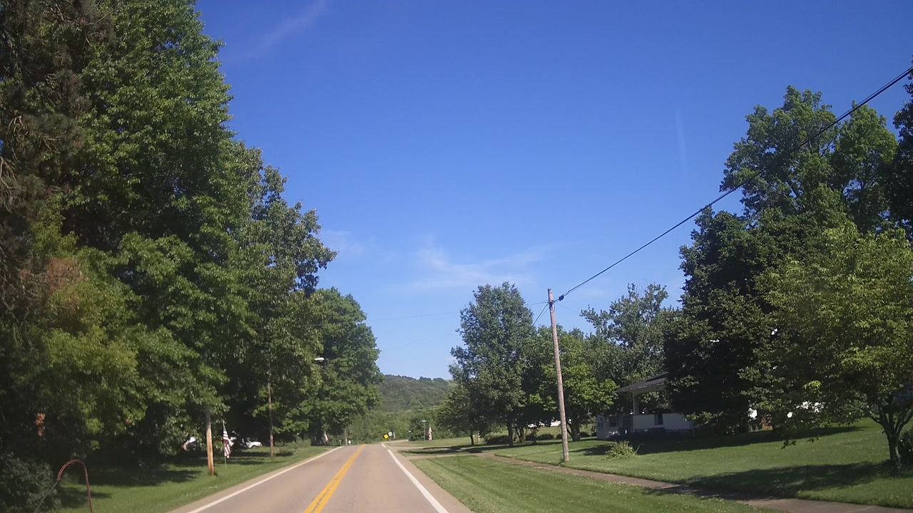
| highway | secondary |
|---|---|
| image | https://storage13.openstreetcam.org/files/photo/2020/6/22/lth/2436078_b43df_3178.jpg |
| lit | no |
| name | Main Street |
| ref | SR 93;SR 541 |
| survey:date | 2020-06-22 |
| tiger:cfcc | A31 |
| tiger:county | Coshocton, OH |
| tiger:name_base | Main |
| tiger:name_base_1 | State Route 93 |
| tiger:name_base_2 | State Route 541 |
| tiger:name_type | St |
| tiger:reviewed | no |
Part of
2 relations
- Relation Ohio State Route 93 (286193)
- Relation Ohio State Route 541 (1592512)
Nodes
34 nodes
- 197050576 (part of ways Baker Avenue (19025868) and SR 93;SR 541 (19023896))
- 197110894
- 197085666 (part of way College Avenue (19024898))
- 197110896
- 197056166 (part of way Commercial Avenue (19024045))
- 197110898
- 197110900 (part of way Linton (19026176))
- 197054897 (part of way Jacobs Square (19024009))
- 197033586 (part of way 19023052)
- 197110902
- 197038957 (part of way Wills Creek Avenue (19023537))
- 197110904
- 197110906 (part of way Park Avenue (19026778))
- 197110908
- 197110910
- 197110912
- 197110914
- 197110916
- 197110918
- 197110920
- 197110921
- 197110922
- 197110923
- 197110924
- 197110925
- 197110926
- 197110928
- 197110929
- 197110930
- 197110931
- 197110932
- 197110933
- 197110934
- 197046071 (part of ways County Road 149 (19023749) and SR 93;SR 541 (19023900))
Welcome to OpenStreetMap!
OpenStreetMap is a map of the world, created by people like you and free to use under an open license.
Hosting is supported by Fastly, OSMF corporate members, and other partners.
| https://openstreetmap.org/copyright | https://openstreetmap.org |
| Copyright OpenStreetMap and contributors, under an open license | |