Loading...
Way: K 7527 (24802387)
Version #16
Baltringen, Umgebung, Wege, Nutzung, Gebäude
Tags
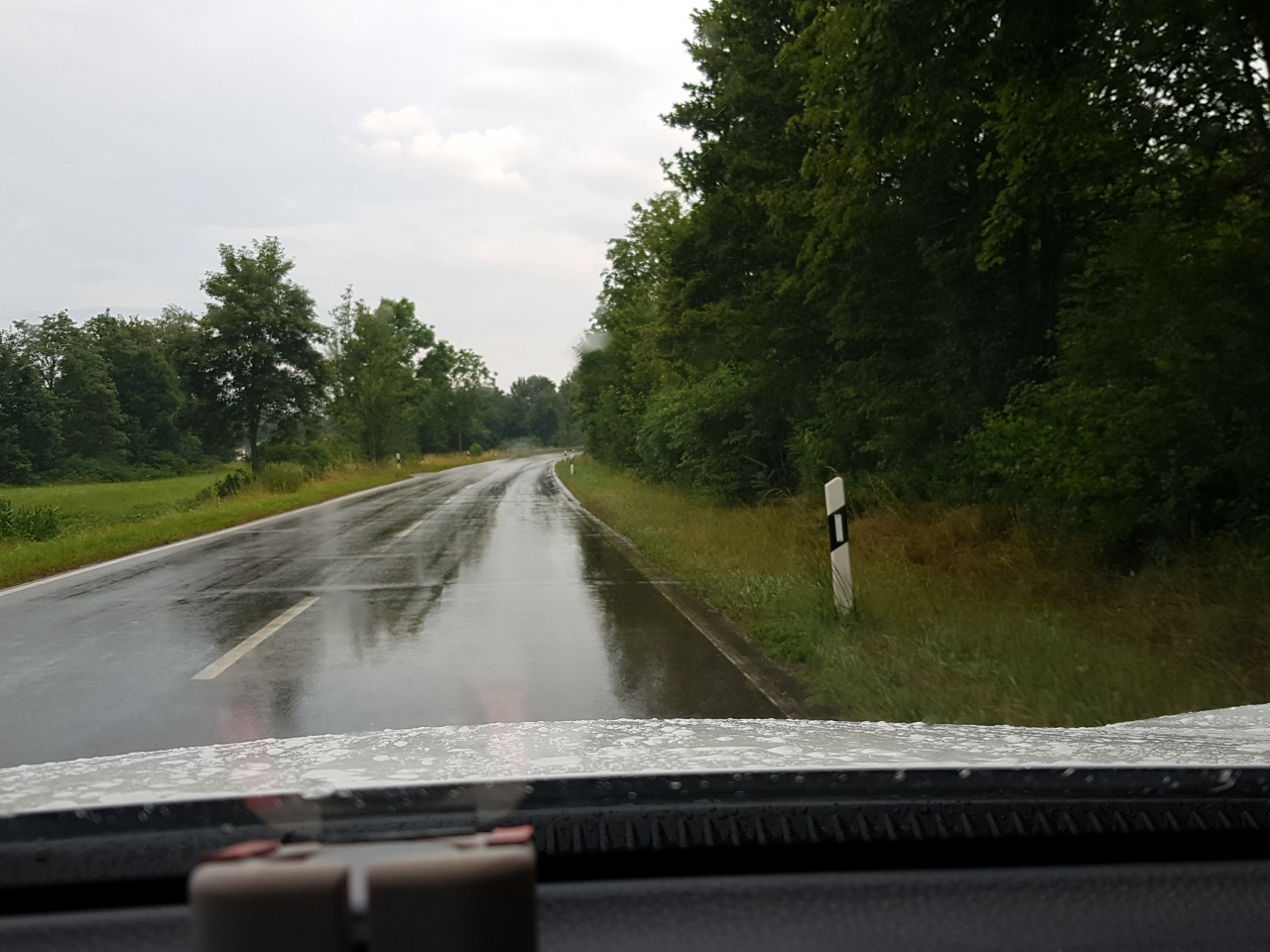
| highway | tertiary |
|---|---|
| image | https://storage12.openstreetcam.org/files/photo/2019/7/12/lth/1583849_6e5b2_5d28c1940d2ae.jpg |
| lanes | 2 |
| maxspeed | 100 |
| ref | K 7527 |
| surface | asphalt |
| survey:date | 2019-07-12 |
Part of
1 relation
- Relation K 7527 (1546778)
Nodes
23 nodes
- Sulmingen (34780323) (part of way Baltringer Straße (27381588))
- 7820065386
- 5985376199 (part of way 634181240)
- 5985376221
- 5985376198 (part of way 634181239)
- 1189572738 (part of way 103021780)
- 1183049637 (part of way 634181238)
- 3454381693
- 5985376212
- 187788352
- 5985376210
- 3454381774
- 5985376208
- 5985376206
- 187788349 (part of way Im Sonnenpark (338364416))
- 5985376205
- 3794270418
- 34780327
- 3794270419
- 2325272382
- 206157107
- 3677572227
- Baltringen (3794270420) (part of way Baltringer Hauptstraße (43331070))
Welcome to OpenStreetMap!
OpenStreetMap is a map of the world, created by people like you and free to use under an open license.
Hosting is supported by Fastly, OSMF corporate members, and other partners.
| https://openstreetmap.org/copyright | https://openstreetmap.org |
| Copyright OpenStreetMap and contributors, under an open license | |