Loading...
Way History: L 307 (30116143)
Version #4
Road Surface Missing (Baden-Württemberg, Germany)
- Edited by Arne Schwarck
- Changeset #89480425
Tags
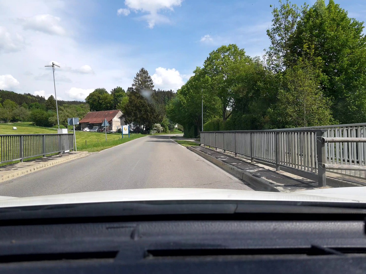
| bridge | yes |
|---|---|
| highway | secondary |
| image | https://storage13.openstreetcam.org/files/photo/2020/5/10/lth/2217242_7_651be_49.jpg |
| lanes | 2 |
| layer | 1 |
| maxspeed | 50 |
| ref | L 307 |
| surface | asphalt |
| survey:date | 2020-05-10 |
| width | 5 |
Nodes
2 nodes
- 252362231 (part of way L 307 (712686945))
- 331856979 (part of way L 307 (30116144))
Version #3
Ortsschild Ummendorf auf L307 Straße
- Edited by Arne Schwarck
- Changeset #73248423
Tags
Nodes
2 nodes
- 252362231 (part of way L 307 (712686945))
- 331856979 (part of way L 307 (30116144))
Version #2
Korrekturen mit keepright, entfernen von "created by.."
Tags
Nodes
2 nodes
- 252362231 (part of way L 307 (712686945))
- 331856979 (part of way L 307 (30116144))
Version #1
(no comment)
Tags
Nodes
2 nodes
- 252362231 (part of way L 307 (712686945))
- 331856979 (part of way L 307 (30116144))
Welcome to OpenStreetMap!
OpenStreetMap is a map of the world, created by people like you and free to use under an open license.
Hosting is supported by Fastly, OSMF corporate members, and other partners.
| https://openstreetmap.org/copyright | https://openstreetmap.org |
| Copyright OpenStreetMap and contributors, under an open license | |