Loading...
Way: Erlanger Straße (31107062)
Version #18
Adding data with #MapComplete for theme #etymology
Tags
| foot | use_sidepath |
|---|---|
| highway | primary |
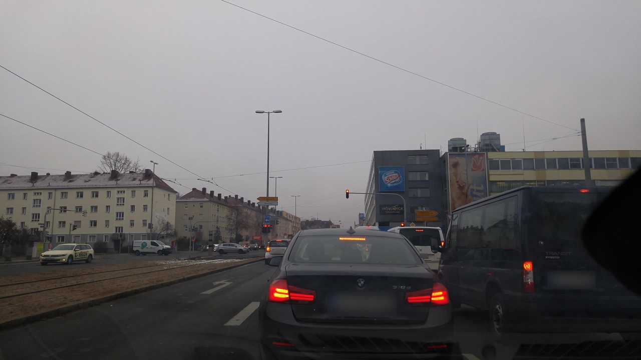
| image | https://storage2.openstreetcam.org/files/photo/2016/12/7/lth/28861_987eb_58486da4241fa.jpg |
| lanes | 3 |
| lit | yes |
| maxspeed | 50 |
| name | Erlanger Straße |
| name:etymology:wikidata | Q3126 |
| oneway | yes |
| placement | right_of:2 |
| ref | B 4 |
| sidewalk:left | no |
| sidewalk:right | separate |
| surface | asphalt |
| survey:date | 2016-12-07 |
| turn:lanes | left|through|through;right |
Part of
4 relations
- Relation B 4 (543828) (as backward)
- Relation B 4 Bay_ ER-N (6663807) (as forward)
- Relation Nightliner N10 Erlangen Hugenottenplatz - Nürnberg Hauptbahnhof (904849)
- Relation U 27 (A 3) (103550) (as forward)
Nodes
2 nodes
- 280314146 (part of ways Thoner Weg (23247549) and Erlanger Straße (250920012))
- 88273628 (part of ways 70011438, Erlanger Straße (250920009), and Thoner Weg (10375035))
Welcome to OpenStreetMap!
OpenStreetMap is a map of the world, created by people like you and free to use under an open license.
Hosting is supported by Fastly, OSMF corporate members, and other partners.
| https://openstreetmap.org/copyright | https://openstreetmap.org |
| Copyright OpenStreetMap and contributors, under an open license | |