Loading...
Way History: K 9261 (762897828)
Version #2
(no comment)
Tags
| highway | proposed |
|---|---|
| proposed | tertiary |
| ref | K 9261 |
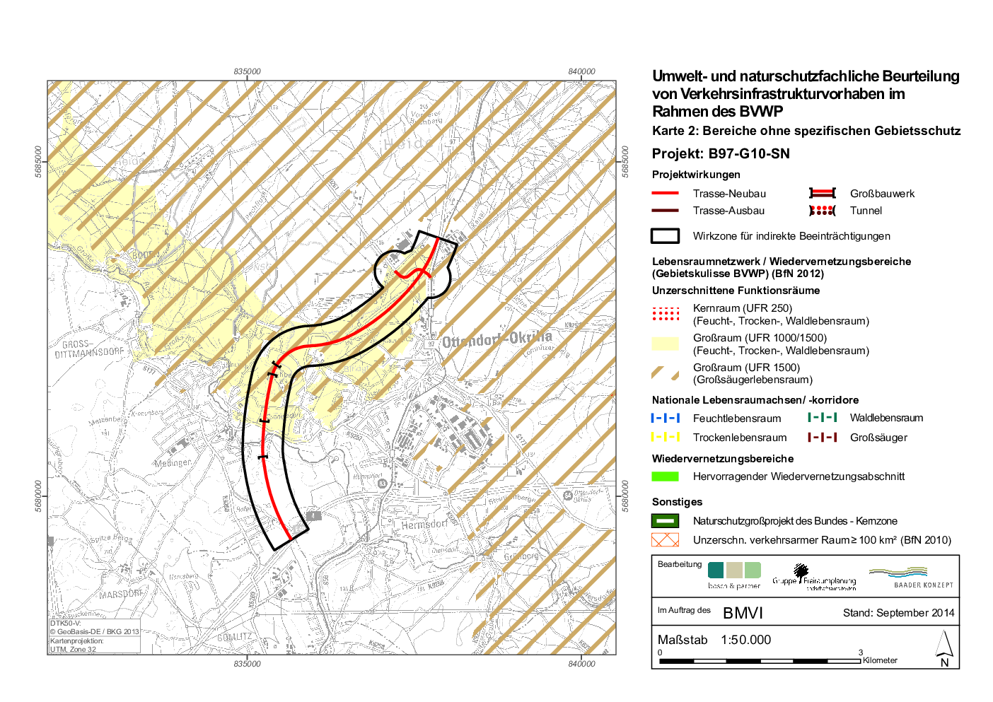
| source | https://www.bvwp-projekte.de/strasse/karten//Karte2/DIN_A4/png_120dpi//Karte2_B97-G10-SN.png |
Nodes
5 nodes
- 2618049615 (part of ways Dresdner Straße (256109056) and Dresdner Straße (168765087))
- 7128719335
- 7128719336
- 7128719333
- 437255616 (part of ways 411791516, 37413448, and Würschnitzer Straße (26553016))
Version #1
(no comment)
Tags
| highway | proposed |
|---|---|
| proposed | tertiary |
| ref | K 9261 |
| source | https://www.bvwp-projekte.de/strasse/karten//Karte2/DIN_A4/png_120dpi//Karte2_B97-G10-SN.png |
Nodes
5 nodes
- Ottendorf-Okrilla (30524367) (part of ways Königsbrücker Straße (26553017) and Dresdner Straße (256109056))
- 7128719335
- 7128719336
- 7128719333
- 437255616 (part of ways 411791516, 37413448, and Würschnitzer Straße (26553016))
Welcome to OpenStreetMap!
OpenStreetMap is a map of the world, created by people like you and free to use under an open license.
Hosting is supported by Fastly, OSMF corporate members, and other partners.
| https://openstreetmap.org/copyright | https://openstreetmap.org |
| Copyright OpenStreetMap and contributors, under an open license | |