Loading...
Way History: L 284 (77616498)
Version #7
Ortsschild hinzugefügt
- Edited by Arne Schwarck
- Changeset #92194886
Tags
| highway | secondary |
|---|---|
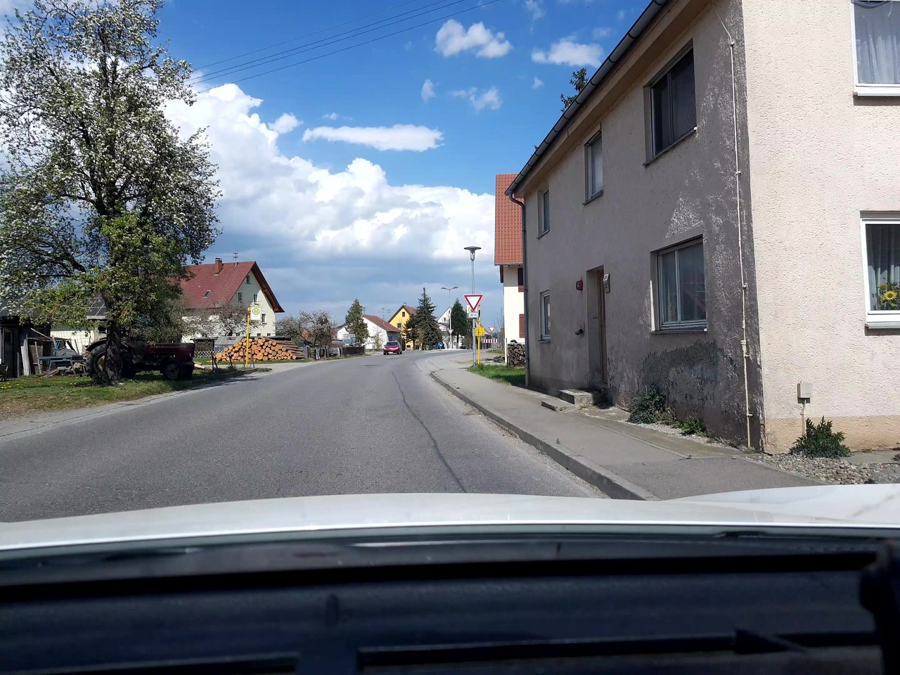
| image | https://storage13.openstreetcam.org/files/photo/2020/4/18/lth/2136322_3_dbde3_4.jpg |
| lanes | 2 |
| maxspeed | 100 |
| ref | L 284 |
| surface | asphalt |
| survey:date | 2020-04-18 |
Nodes
2 nodes
- 88914662 (part of way L 284 (102006404))
- Appendorf (7989787328) (part of way L 284 (856950242))
Version #6
Road Surface Missing (Baden-Württemberg, Germany)
- Edited by Arne Schwarck
- Changeset #89516055
Tags
| highway | secondary |
|---|---|
| image | https://storage13.openstreetcam.org/files/photo/2020/4/18/lth/2136322_3_dbde3_4.jpg |
| lanes | 2 |
| maxspeed | 50 |
| ref | L 284 |
| surface | asphalt |
| survey:date | 2020-04-18 |
Nodes
10 nodes
- 88914662 (part of way L 284 (102006404))
- 518478399 (part of ways 102488434, L 284 (856950242), and 41896362)
- 1183579437 (part of ways 102488439 and L 284 (856950242))
- 88914663 (part of way L 284 (856950242))
- 518478394 (part of ways L 284 (856950242) and 41896361)
- 2662880883 (part of way L 284 (856950242))
- 1302089135 (part of way L 284 (856950242))
- 2662880901 (part of way L 284 (856950242))
- 1302089023 (part of way L 284 (856950242))
- 3300381856 (part of ways L 284 (323245532) and L 284 (856950242))
Version #5
Hochdorf, Appendorf: Straßen und landuse überarbeitet
Tags
Nodes
10 nodes
- 88914662 (part of way L 284 (102006404))
- 518478399 (part of ways 102488434, L 284 (856950242), and 41896362)
- 1183579437 (part of ways 102488439 and L 284 (856950242))
- 88914663 (part of way L 284 (856950242))
- 518478394 (part of ways L 284 (856950242) and 41896361)
- 2662880883 (part of way L 284 (856950242))
- 1302089135 (part of way L 284 (856950242))
- 2662880901 (part of way L 284 (856950242))
- 1302089023 (part of way L 284 (856950242))
- 3300381856 (part of ways L 284 (323245532) and L 284 (856950242))
Version #4
Bereich Appendorf
Tags
Nodes
10 nodes
- 88914662 (part of way L 284 (102006404))
- 518478399 (part of ways 102488434, L 284 (856950242), and 41896362)
- 1183579437 (part of ways 102488439 and L 284 (856950242))
- 88914663 (part of way L 284 (856950242))
- 518478394 (part of ways L 284 (856950242) and 41896361)
- 2662880883 (part of way L 284 (856950242))
- 1302089135 (part of way L 284 (856950242))
- 2662880901 (part of way L 284 (856950242))
- 1302089023 (part of way L 284 (856950242))
- 88914664 (part of ways L 284 (323245536), L 284;K 7563 (24583702), and K 7563 (23340165))
Version #3
Korrektur Hochdorf
Tags
Nodes
8 nodes
- 88914662 (part of way L 284 (102006404))
- 518478399 (part of ways 102488434, L 284 (856950242), and 41896362)
- 1183579437 (part of ways 102488439 and L 284 (856950242))
- 88914663 (part of way L 284 (856950242))
- 518478394 (part of ways L 284 (856950242) and 41896361)
- 1302089135 (part of way L 284 (856950242))
- 1302089023 (part of way L 284 (856950242))
- 88914664 (part of ways L 284 (323245536), L 284;K 7563 (24583702), and K 7563 (23340165))
Version #2
Mehr Details im Wald zwischen Appendorf und Ummendorf, Lkr. Biberach
Tags
Nodes
6 nodes
- 88914662 (part of way L 284 (102006404))
- 518478399 (part of ways 102488434, L 284 (856950242), and 41896362)
- 1183579437 (part of ways 102488439 and L 284 (856950242))
- 88914663 (part of way L 284 (856950242))
- 518478394 (part of ways L 284 (856950242) and 41896361)
- 88914664 (part of ways L 284 (323245536), L 284;K 7563 (24583702), and K 7563 (23340165))
Version #1
Geschwindigkeitsbegrenzung
Tags
Nodes
5 nodes
- 88914662 (part of way L 284 (102006404))
- 518478399 (part of ways 102488434, L 284 (856950242), and 41896362)
- 88914663 (part of way L 284 (856950242))
- 518478394 (part of ways L 284 (856950242) and 41896361)
- 88914664 (part of ways L 284 (323245536), L 284;K 7563 (24583702), and K 7563 (23340165))
Welcome to OpenStreetMap!
OpenStreetMap is a map of the world, created by people like you and free to use under an open license.
Hosting is supported by Fastly, OSMF corporate members, and other partners.
| https://openstreetmap.org/copyright | https://openstreetmap.org |
| Copyright OpenStreetMap and contributors, under an open license | |