Loading...
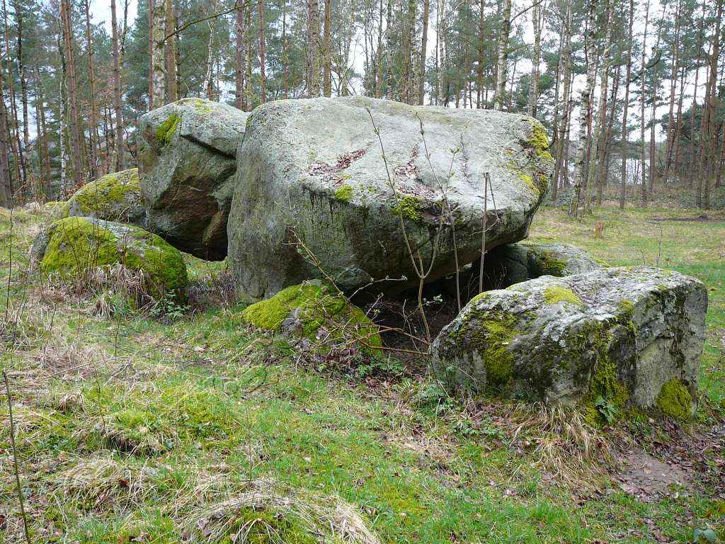
Node: Großsteingrab Sparow (2146337353)
Version #10
removed site_type= as transitional simultaneous tagging with archaeological_site=, as discussed in https://community.openstreetmap.org/t/implementation-of-new-tagging-scheme-of-archaeological-site/7850
- Edited by ChillyDL
- Changeset #138536193
- Location: 53.5276037, 12.3795979
Tags
Part of
1 way
Welcome to OpenStreetMap!
OpenStreetMap is a map of the world, created by people like you and free to use under an open license.
Hosting is supported by Fastly, OSMF corporate members, and other partners.
| https://openstreetmap.org/copyright | https://openstreetmap.org |
| Copyright OpenStreetMap and contributors, under an open license | |