I'm a new mapper; I've been wanting to do this for a long time but not had the intestinal fortitude to actually start mapping and uploading. I live in Osaka, Japan. This is very gratifying in a way since I seem to be about the only one here mapping the city so I have lots of low-hanging fruit to pick. Seen another way, however, it's kind of scary and discouraging; the whole urban area is over 9 million people so I could spend the rest of my life mapping streets in this place.
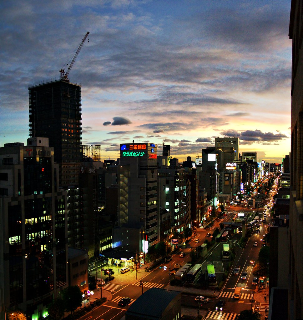
Also, with very few people doing any mapping I don't have many examples to draw on for local features. My main problem right now are the big roads (the ones a step below motorways). While they are at the same level as the local streets, they are multi-lane, heavily trafficked and either one-way or two-way but divided by a sometimes quite prominent middle division. They are in other words really wide roads. One example - the one I have trouble with right now - is Nagahori street. Here's a (not that illustrative) picture of it: [http://farm1.static.flickr.com/115/299290678_d095b317db_b.jpg Nagahori Street]
I don't have a car or even a driver's license so there is basically no way for me to actually make traces down the middle of these roads. Those traces would have some issues anyhow since the roads can be very wide (the other road I need to start on - Sakaisuji - is five lanes wide) so the width really matters. In the case of Nagahori street, there's even a bus parking going down the middle of part of the street. 'm considering simply tracing the sidewalks and running the roads right in between, perhaps augmented with markers I put down at the center as I cross the roads on zebra crossings.
A related issue with Nagahori street and others is that the sidewalks are wide - as wide as a one-lane road - and separated from the car lanes by trees, bushes and so on. I don't know if I should map them as separate roads by itself or if I should just figure their width into the main road itself?
Discussion
Comment from Alexander Hunziker on 22 September 2008 at 08:02
Hi,
let me just give you my take on your questions:
I guess I would map streets like Nagahori street as two one-wayed streets, where each of the ways lies about in the middle of its respective half of the street. If there is Yahoo Imagery for Osaka, you can use that one. Otherwise walk once on the left side and once on the right side and you'll get an idea as to where to place the streets. If you want, you can set a tag saying how many lanes a street has.
I wouldn't put the boardwalks as separate ways, nor include them in the estimation of the width of the road.
Comment from JanneM on 22 September 2008 at 08:23
Pretty much what I was thinking. Yahoo doesn't have decent coverage of Osaka (the aerial imagery doesn't even resolve to street level) so that is no guide. What I am mostly concerned about is the idea of basically tracing the sidewalk, not the street, then placing the street next to the trace. The accuracy won't be great, but it should be a lot better than not having the street at all?
Comment from 42429 on 22 September 2008 at 09:24
A GPS track is usually 10 or 15 metres away from its real point. It's ridiculous to complain about accuracy. If you walk on both sidewalks, you will get the street as a line between these sidewalks.
It's more difficult and more important to add block numbers (landuse=residential, name=1-2-3) and street names.
Yours FK270673
Comment from JanneM on 22 September 2008 at 09:35
Street names are easy; most streets have no official designation at all. How do I add block names and numbers, though? It feels sort of wrong to add an area just to have something to attach the name to (not to mention having to move all abutting areas if you adjust the street). House numbers would go with the individual buildings of course. It would be good if you could somehow reuse the nodes defining street corners to delineate blocks.
I'll cross that bridge when I get to it; first I'll just try to get my current area streets mapped out.
Comment from LivingWithDragons on 22 September 2008 at 11:21
highway=trunk or highway=primary would probably be good for the road in the photo. The links from http://wiki.openstreetmap.org/index.php/Japan will probably help (tagging conventions for japan are on the wikiproject Japan page).
Mapping where it's blank is exciting, and you'll soon find your work encourages others to start mapping. In such a big town, and a technology-aware place such as Japan, you'll get many more local mappers than me.
For sharing nodes, I think you may be looking for this recent blog post:
http://www.openstreetmap.org/user/HannesHH/diary/3393
If you have an rss reader, I recommend subscribing to this aggregation of user blog posts and mappers who blog on their own website:
http://blogs.openstreetmap.org
Comment from 42429 on 22 September 2008 at 14:50
Sharing nodes is generally a good idea, but it's difficult to change a street with multiple landuse-edges on it with Potlatch.
You need to create at least one place=hamlet or one landuse=residential area for each block. It's a lot of work to add all properties to that hamlet:
place=hamlet, name=1-3-2 name_loc=霞ヶ関1-3-2, name_int= 1-3-2, Kasumigaseki,
is in: Kita-ku, Osaka, population=150, postal_code=9999, source=www.statistics.jp. If you have added these information, a routing system can find the way from one address to another address.
Adding hamlet points is a lot of work (I have added roughly 50 hamlets and villages in a rural area), but its necessary work that needs to be done by at least one contributor.
Yours FK270673
Comment from chippy on 22 September 2008 at 17:46
Hi JanneM,
have a look at www.openstreetmap.jp - there's lost of information, a good mailing list, and there are also some people who live in Osaka who map, including some folk from Osaka city university, where this springtime we did a little openstreetmap mapping party.
I think Osaka would benefit from another party! :)
Comment from JanneM on 23 September 2008 at 02:29
Thanks, all! Chippy, I'm subscribed to the mailing list already, though I have yet to get any messages. Would be fun to meet a few other people doing this!
FK270673: Thanks for the tips. Not sure it is directly applicable to city blocks since the third number is connected to individual buildings and those become kind of difficult to map with a GPS since the resolution simply isn't there (and owners may object to people running around their property with a tape measure). I have to find someplace on the map (Tokyo perhaps) where someone has already done this and look at exactly what they did, I think.