Loading...
Changeset: 87443567
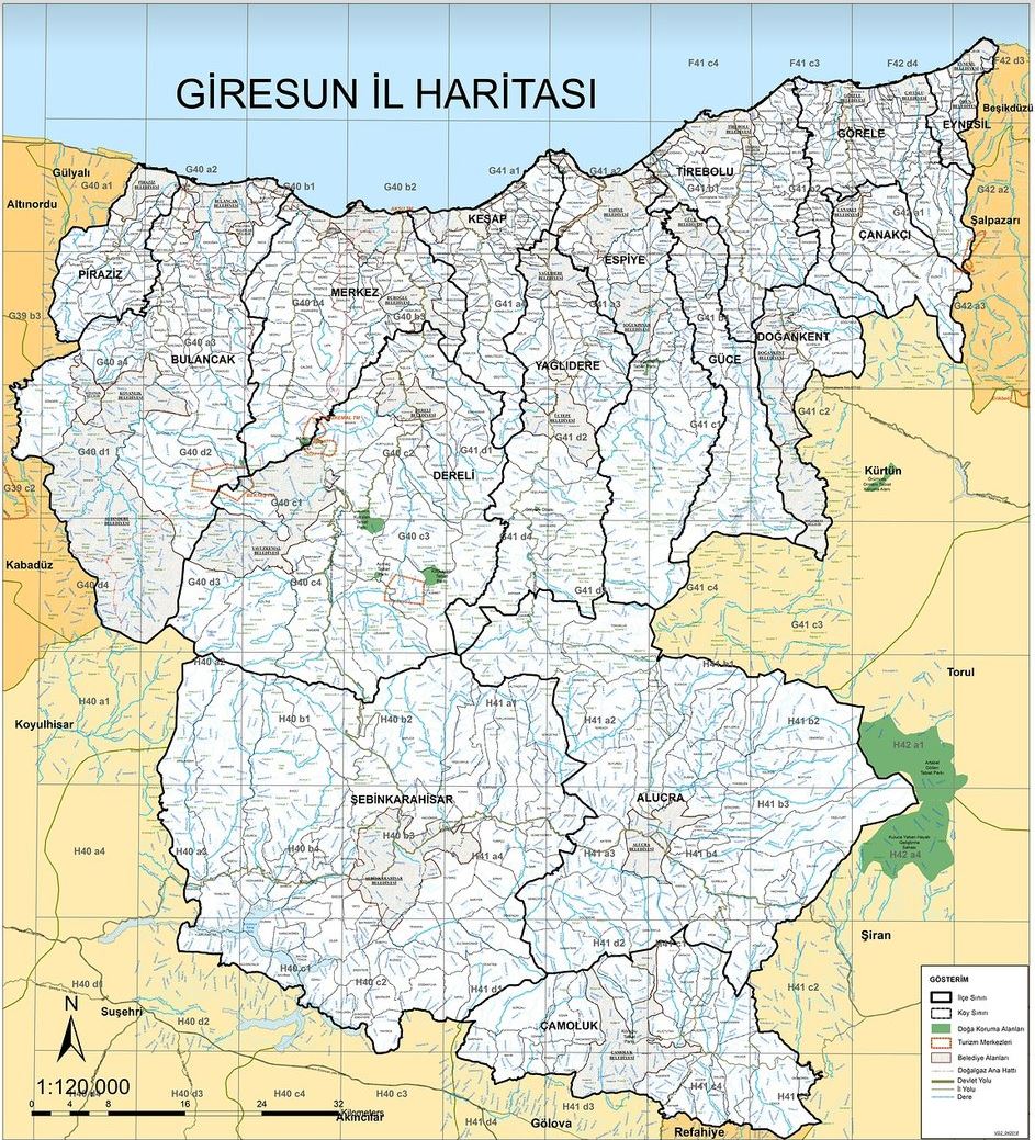
Giresun il ve ilçe sınırları
Closed by katpatuka
Tags
| created_by | JOSM/1.5 (16538 en) |
|---|---|
| source | http://giresun.gov.tr/kurumlar/giresun.gov.tr/Giresun%20Haritas%C4%B1.JPG |
Discussion
- Erzincan - Giresun İl Sınırı (15243434), v12
- Gümüşhane - Giresun il sınırı (15272586), v12
- Gümüşhane - Trabzon İl Sınırı (15889174), v11
- Sivas - Giresun İl Sınırı (105333320), v10
- Sivas - Giresun İl Sınırı (105497304), v10
- Ordu - Giresun İl Sınırı (134417251), v8
- Gümüşhane - Giresun il sınırı (134428179), v6
- Çamoluk - Şebinkarahisar ilçe sınırı (134428180), v6
- Çamoluk - Alucra ilçe sınırı (134428181), v6
- Gümüşhane - Giresun il sınırı (136266111), v6
- Gümüşhane - Giresun il sınırı (136266112), v6
- Gümüşhane - Giresun il sınırı (136300945), v5
- Gümüşhane - Giresun il sınırı (136300946), v5
- Gümüşhane - Giresun il sınırı (136300950), v4
- Giresun - Trabzon İl Sınırı (136300952), v4
- Giresun - Trabzon İl Sınırı (136300953), v4
- Ordu - Giresun İl Sınırı (136300954), v5
- Ordu - Giresun İl Sınırı (136300955), v5
- Bulancak - Giresun merkez ilçe sınırı (136300958), v3
- Dereli - Giresun merkez ilçe sınırı (136300959), v4
Relations (12)
Welcome to OpenStreetMap!
OpenStreetMap is a map of the world, created by people like you and free to use under an open license.
Hosting is supported by Fastly, OSMF corporate members, and other partners.
| https://openstreetmap.org/copyright | https://openstreetmap.org |
| Copyright OpenStreetMap and contributors, under an open license | |