Loading...
Node History: 4563512799
Version #7
Papildymai, patikslinimai
- Edited by Aurimas Fišeras
- Changeset #76065461
- Location: 54.6752082, 25.0824469
Version #5
pagal foto miestai.net
- Edited by alga
- Changeset #54444479
- Location: 54.6754004, 25.0821455
Version #4
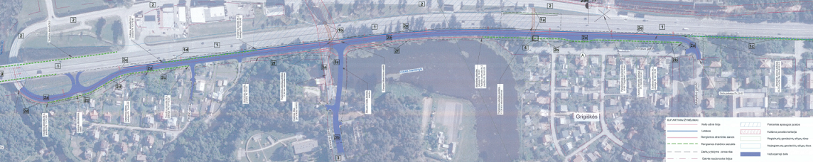
Grigiškių 3 etapo apžvalga dviračiu
- Edited by alga
- Changeset #54301638
- Location: 54.6754016, 25.0821412
Version #3
Pataisiau pagal GPS pėdsaką
- Edited by alga
- Changeset #53067022
- Location: 54.6754006, 25.0821312
Version #2
Grigiškių ruožo tvarkymas
- Edited by PovilasDew
- Changeset #52662407
- Location: 54.6754501, 25.0820720
Version #1
tvarkymai, http://foto.terpe.lt/inkelti/20161116/i48_Untitled.png
- Edited by Runis
- Changeset #44541006
- Location: 54.6753090, 25.0822758
Welcome to OpenStreetMap!
OpenStreetMap is a map of the world, created by people like you and free to use under an open license.
Hosting is supported by Fastly, OSMF corporate members, and other partners.
| https://openstreetmap.org/copyright | https://openstreetmap.org |
| Copyright OpenStreetMap and contributors, under an open license | |