Loading...
Way: 310652434
Version #11
Changed track to driveway, added sidewalks, missing traffic signals, expanded substation area, upgraded 2 outdated tags, fixed Westfield St to continue all the way to S Academy St, and changed Westfield Street/Reedy River crossing from bridge to culvert
Tags
| footway | sidewalk |
|---|---|
| highway | footway |
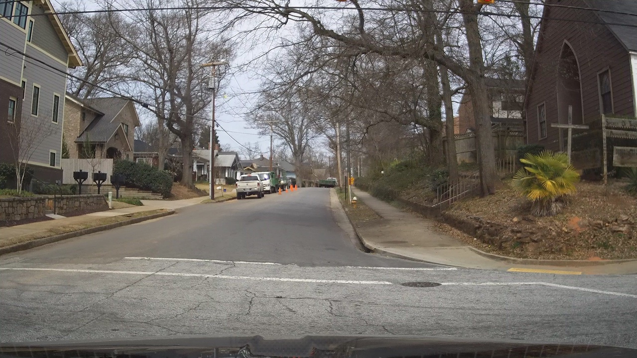
| image | https://storage11.openstreetcam.org/files/photo/2019/4/2/lth/1361704_b4392_2561.jpg |
| surface | concrete |
| survey:date | 2019-04-02 |
Nodes
44 nodes
- 3161097480
- 3161097475
- 3161097518
- 3228617162 (part of way Central Avenue (12436242))
- 3119636531
- 3161097553
- 3161097546
- 3161097471
- 3161097661
- 3161097484
- 3161097465
- 3161097509
- 3161097502
- 3161097496 (part of way 942579055)
- 3228614383 (part of way Central Avenue (12436242))
- 3902483079 (part of way 386891722)
- 3228614381 (part of way 12454035)
- 3902483107 (part of way 386891730)
- 3161097543
- 3161097527
- 3161097666 (part of way 309254454)
- 3161097672
- 3161097560
- 3902483082 (part of way 386891724)
- 3902483117 (part of way 386891733)
- 3228614380 (part of way 41979315)
- 3228617161 (part of way 316701275)
- 3161097520
- 3197236664 (part of ways 316700551 and 316700552)
- 3161097500
- 3161097526
- 3902483096 (part of way 386891726)
- 3161097481
- 3161097486
- 3767412721
- 3161097523
- 3161097492
- 3161097517
- 3161097668
- 7938349333 (part of way 851000141)
- 3161097674
- 3161097529
- 3161097535
- 10720342331 (part of way 1152579480)
Welcome to OpenStreetMap!
OpenStreetMap is a map of the world, created by people like you and free to use under an open license.
Hosting is supported by Fastly, OSMF corporate members, and other partners.
| https://openstreetmap.org/copyright | https://openstreetmap.org |
| Copyright OpenStreetMap and contributors, under an open license | |