
ourFootPrints.de integration into OpenStreetMap all but finished
Posted by Ævar Arnfjörð Bjarmason on 1 March 2010 in English.The ourFootPrints.de import into OpenStreetMap which I ran on January 14-15 has been almost completely integrated into OpenStreetMap.
8,337 ways were imported and all but 239 have now been either deleted because they were redundant or given proper OpenStreetMap tags and been connected to the rest of our data.
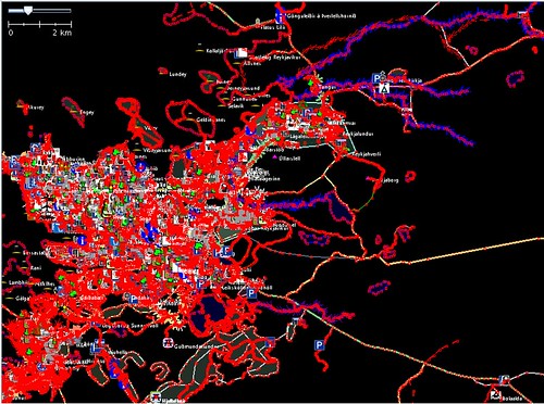
Now only the capital area has ourFootPrints ways which haven't been integrated yet. This is the area around Reykjavík that still needs to be worked on:
Integrating ways in built-up areas takes a bit longer since there are a lot of merge operations that have to be done compared to just adding a rural highway.
Overall this import turned out very well. We've added a lot of national highways and other rural data that we didn't have before and improved data we already had. Generally when some data was both on OpenStreetMap and ourFootPrints the OpenStreetMap data would be more accurate (as judged by GPX traces, local knowledge, node density etc.) but there were also a lot of cases where I deleted OpenStreetMap data and dropped in the ourFootPrints version because it was more accurate.
I'm also very happy with the method I used to import the data. Everything I imported I gave "shadow tags" such as ofp:highway=residential instead of highway=residential. This meant that this data wasn't visible to anyone using map renderings or other produced data like Garmin maps until someone had gone through it, integrated it and given it real tags.
This meant that we could collaboratively work on integrating the data using normal editing tools without affecting normal users.
Discussion
Comment from HannesHH on 2 March 2010 at 09:23
Very very nice.