Torrential rain and floods in Bolivia have killed 38 people and left many homeless (42000 families). The Ministry of Defense said it had flown in food aid and the army was evacuating families from the worst affected regions, Trinidad City - department of Beni, Ixiamas - northeast of the capital La Paz and indigenous communities (Yuracaré people) on the banks of the Chapare River in the central department of Cochabamba.
 Photo credits AFP link
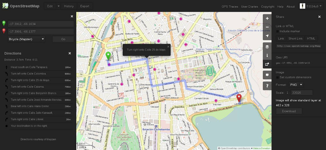
OSM Task Manager
Yesterday, Ariel Nuñez (GFDRR World Bank) based on the request from Fernando Molina, who represents GeoBolivia, and with information from Capitán Carlos Mariaca from the Viceministry of Defense (SINAGER/Defensa Civil) set up the 3 tasks on OSM Task Manager:
We need help with tracing buildings, waterways and roads.
WikiPage Bolivian Floods
I wrote in spanish language the wiki page 2014 Bolivian Floods of the event.
LandSat8 Imagery
From OSM Colombia Talk List:
After a request from Humberto, a Landsat-8 cover of Bolivia is available, in “natural colors” (red, green and blue - 4, 3 and 2 Landsat bands), and also in “false colors” (infrared, near infrared, and green - 7, 5 and 3 Landsat bands), as suggested by Harrierco. (This makes water more visible). The images have less than 10% cloud cover, and were taken between August 2013 and February 2014
URL for JOSM:
tms[19]:http://imagery.openstreetmap.fr/tms/1.0.0/bolivia_l8_pxs432/{zoom}/{x}/{y}tms[19]:http://imagery.openstreetmap.fr/tms/1.0.0/bolivia_l8_pxs753/{zoom}/{x}/{y}
Thanks to USGS for allowing on-demand processing of these images while Landsat-8 cache reprocessing with improved calibration is on-going
Be digital volunteer, you help save lives!
 osm.org with a dark theme
 Photo by
  Photo by


