
Firstly I want to thank mappers who had put their deliberate effort in creating and improving the data in Visakhapatnam. The road network in the most of the areas is almost mapped and there are few missing roads. As Bing aerial Imagery, Esri world imagery, DigitalGlobe Imagery looks solid, we picked them as resources for the mapping according to the updated imagery. I appreciate Martha Leena, Chanda Teresa, Naga Bhavana and Iqhra Aiman for teaming up with me for this Mapping campaign. As an initial phase we’d like to concentrate on the Visakhapatnam division
 Pic credits: Deccan Chronicle
We made a plan to map the features in the following order, so that we can concentrate on particular feature and improve that.
- Align the roads and create the complete road network according to updated imagery.
- Improve the building coverage all over the Visakhapatnam.
- Do Mapillary drives with the help of local community in the Visakhapatnam and try to achieve a - complete Mapillary coverage.
- Adding road names,Point of interests,amenities and other map features using Mapillary resource we collected.
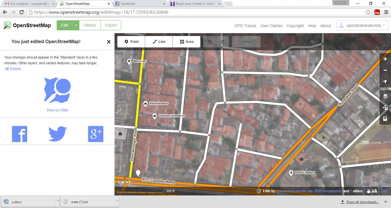
Changeset comment: #Improving the roads and buildings in the Visakhapatnam
Source: Bing aerial Imagery, Esri world imagery, DigitalGlobe Imagery
Note: The above plan is just for our team to maintain consistency in our campaign, so that we can track the features we are adding and for smooth journey of mapping.
I request all the community members to join us. Looking forward for the suggestions and improvements. We would like to continue this and try to make OpenStreetMap better in Visakhapatnam.
 Stats from
  Project comparison from


 Sunrise over Bay of Bengal at Ramakrishna beach in Visakhapatnam. Photo by
  People enjoy a cable car ride at

